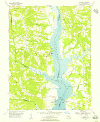
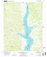
1953 Map of Benedict
USGS Topo · Published 1956About this map
The Patuxent River dominates this mid-century survey, serving as the central artery between the rolling hills of Prince Georges, Calvert, Charles, and Saint Marys counties. The riverside landscape is defined by its maritime and agricultural connections, notably at Leitch Wharf and the small settlements of Eagle Harbor and Cedarhaven. These communities, along with the larger town of Benedict at the south, reflect a period when the river was essential for both local industry and transport. Inland, the map reveals a network of rural life anchored by the John Wesley Ch and Benedict Sch. Small creek systems like Swanson Creek and Hunting Creek cut through the terrain, while landmarks such as Holland Cliff and Trueman Pt provide distinct navigational points along the tidal waters during the early 1950s.
Find a feature on this map
48 named features on this map. Tap any name to fly to it.
Don’t see what you’re looking for? This feature index may not catch every label — zoom into the map to look around manually.
Map Details
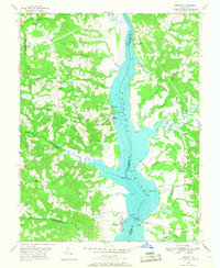
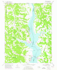
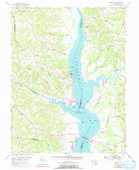
Editions of this 1953 Benedict Map
5 editions found
Other maps of this area

1892 · Leonardtown
USGS Topo · 1:62,500

1892 · Prince Frederick
USGS Topo · 1:62,500

1892 · Brandywine
USGS Topo · 1:62,500

1894 · Wicomico
USGS Topo · 1:62,500

1895 · Prince Frederick
USGS Topo · 1:62,500

1895 · Wicomico
USGS Topo · 1:62,500

1895 · Brandywine
USGS Topo · 1:62,500

1895 · Leonardtown
USGS Topo · 1:62,500

1895 · Nomini
USGS Topo · 1:125,000

1898 · Nomini
USGS Topo · 1:125,000