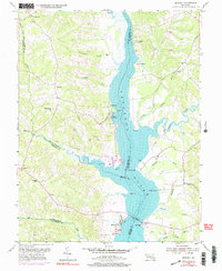
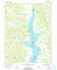
1953 Map of Benedict
USGS Topo · Published 1991About this map
The Patuxent River dominates this mid-century landscape, serving as the watery boundary between Prince George’s, Charles, and Calvert counties. The village of Benedict sits at a critical crossing point near the Toll Bridge, supported by local infrastructure like the Patuxent Sch and nearby Landing Strip. The riverbanks are dotted with landings and wharves, such as Deep Landing and Leitch Wharf, which speak to the long-standing maritime economy of the Chesapeake region.
Find a feature on this map
49 named features on this map. Tap any name to fly to it.
Don’t see what you’re looking for? This feature index may not catch every label — zoom into the map to look around manually.
Map Details
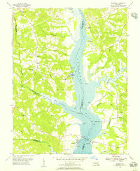
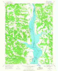
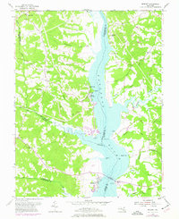
Editions of this 1953 Benedict Map
5 editions found
Other maps of this area

1892 · Leonardtown
USGS Topo · 1:62,500

1892 · Prince Frederick
USGS Topo · 1:62,500

1892 · Brandywine
USGS Topo · 1:62,500

1894 · Wicomico
USGS Topo · 1:62,500

1895 · Prince Frederick
USGS Topo · 1:62,500

1895 · Wicomico
USGS Topo · 1:62,500

1895 · Brandywine
USGS Topo · 1:62,500

1895 · Leonardtown
USGS Topo · 1:62,500

1895 · Nomini
USGS Topo · 1:125,000

1898 · Nomini
USGS Topo · 1:125,000