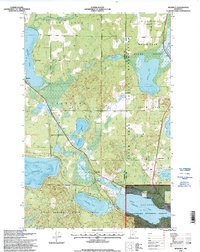
1996 Map of Benedict
USGS Topo · Published 1998About this map
Leech Lake Indian Reservation and the sprawling water systems of northern Minnesota define this mid-1990s survey. The landscape is a dense network of glacial basins and wetlands, where the Kabekona River and Necktie River thread through timbered lands. Small settlements like Laporte and Benedict anchor the local road network, while the massive expanse of Leech Lake dominates the eastern edge of the quadrangle.
Find a feature on this map
35 named features on this map. Tap any name to fly to it.
Don’t see what you’re looking for? This feature index may not catch every label — zoom into the map to look around manually.
Map Details
Editions of this 1996 Benedict Map
This is the sole edition of this map. No revisions or reprints were ever made.
Other maps of this area

1954 · Bemidji
USGS Topo · 1:250,000

1957 · Bemidji
USGS Topo · 1:250,000

1958 · Bemidji
USGS Topo · 1:250,000

1968 · Guthrie
USGS Topo · 1:24,000

1972 · Steamboat Bay
USGS Topo · 1:24,000
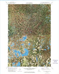
1972 · East Crooked Lake
USGS Topo · 1:24,000

1972 · Benedict
USGS Topo · 1:24,000

1972 · Laporte
USGS Topo · 1:24,000

1972 · Pike Bay
USGS Topo · 1:24,000
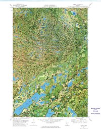
1972 · Akeley
USGS Topo · 1:24,000