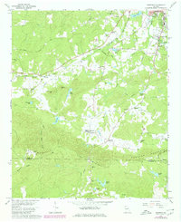
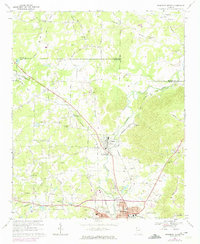
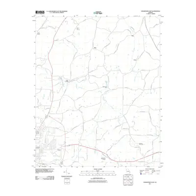
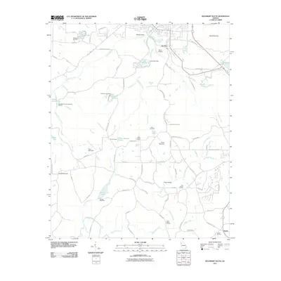
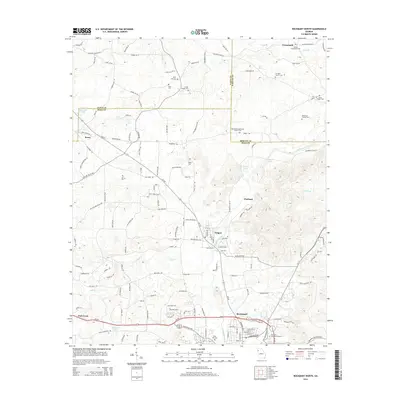
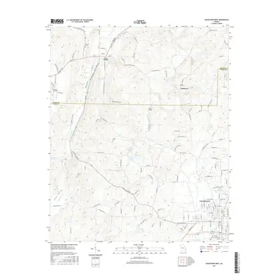
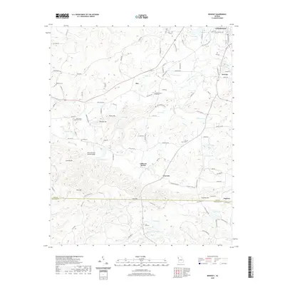
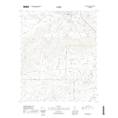
1966 Map of Benedict
USGS Topo · Published 1980About this map
Cedartown margins and the small settlement of Benedict anchor the northern reaches of this landscape where the Seaboard Coast Line railroad and Potash Road traverse the valley. The topography is defined by the high ridges of Treat Mountain and Dugdown Mountain, creating a natural barrier that separates northern settlements from the southern drainage into Big Creek. This mid-century survey captures a transition in land use, showing established community markers like Macedonia Cem and Cleveland Chapel alongside modern infrastructure like the Johnson Lake landing strip and multiple industrial pipelines. The map reveals a network of small rural outposts such as Akes, Esom, and Caseyville, each connected by winding roads that follow the contours of Pumpkin Pile Creek and Mc Curry Creek.
Find a feature on this map
59 named features on this map. Tap any name to fly to it.
Don’t see what you’re looking for? This feature index may not catch every label — zoom into the map to look around manually.
Map Details
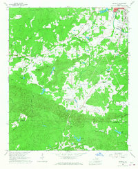
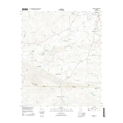
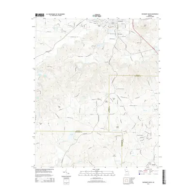
Editions of this 1966 Benedict Map
2 editions found
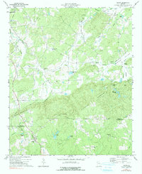
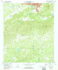
Historical Maps of Cedartown Through Time
36 maps found
1966 Benedict
Polk County, GA
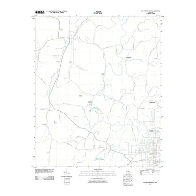
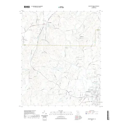
1967 Cedartown East
Polk County, GA
1967 Cedartown West
Polk County, GA
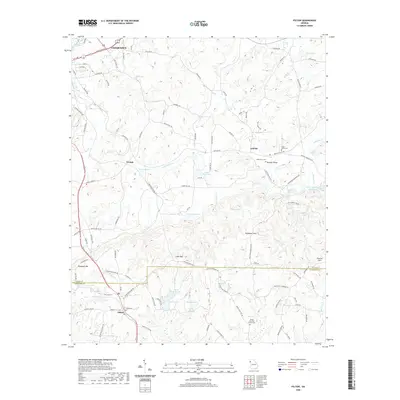
1968 Rockmart North
Polk County, GA
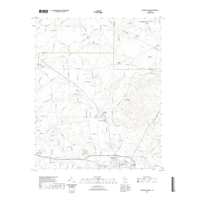
1973 Felton
Polk County, GA
1973 Rockmart South
Polk County, GA
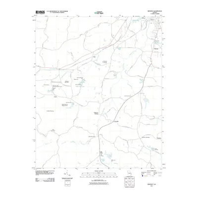
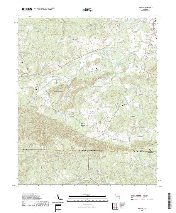
2011 Benedict
Polk County, GA
2011 Cedartown East
Polk County, GA
2011 Cedartown West
Polk County, GA
2011 Felton
Polk County, GA
2011 Rockmart North
Polk County, GA
2011 Rockmart South
Polk County, GA
2014 Benedict
Polk County, GA

2014 Cedartown East
Polk County, GA
2014 Cedartown West
Polk County, GA
2014 Felton
Polk County, GA
2014 Rockmart North
Polk County, GA
2014 Rockmart South
Polk County, GA
2017 Benedict
Polk County, GA
2017 Cedartown East
Polk County, GA
2017 Cedartown West
Polk County, GA
2017 Felton
Polk County, GA
2017 Rockmart North
Polk County, GA
2017 Rockmart South
Polk County, GA
2020 Benedict
Polk County, GA

2020 Cedartown East
Polk County, GA
2020 Cedartown West
Polk County, GA
2020 Felton
Polk County, GA
2020 Rockmart North
Polk County, GA
2020 Rockmart South
Polk County, GA
2024 Benedict
Polk County, GA
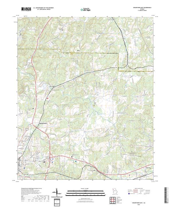
2024 Cedartown East
Polk County, GA
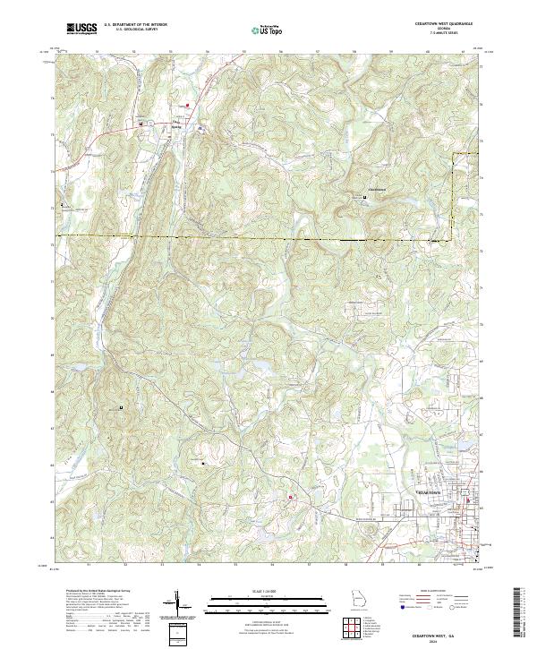
2024 Cedartown West
Polk County, GA
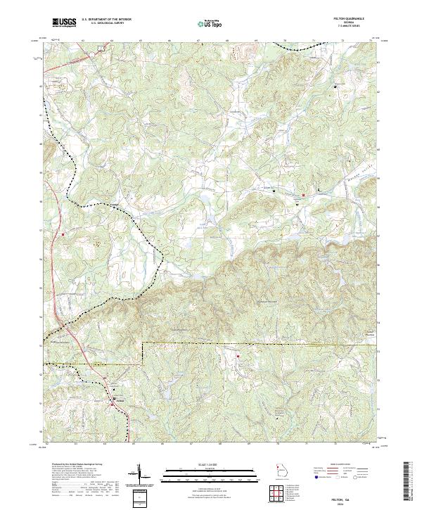
2024 Felton
Polk County, GA
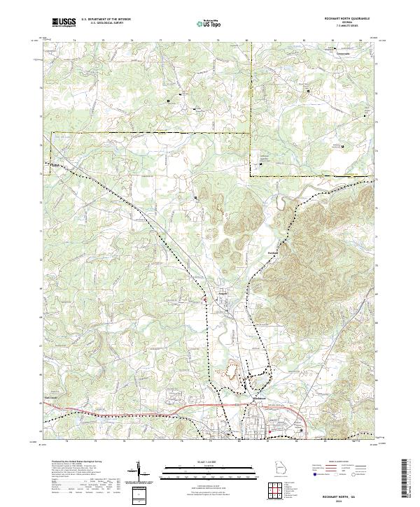
2024 Rockmart North
Polk County, GA
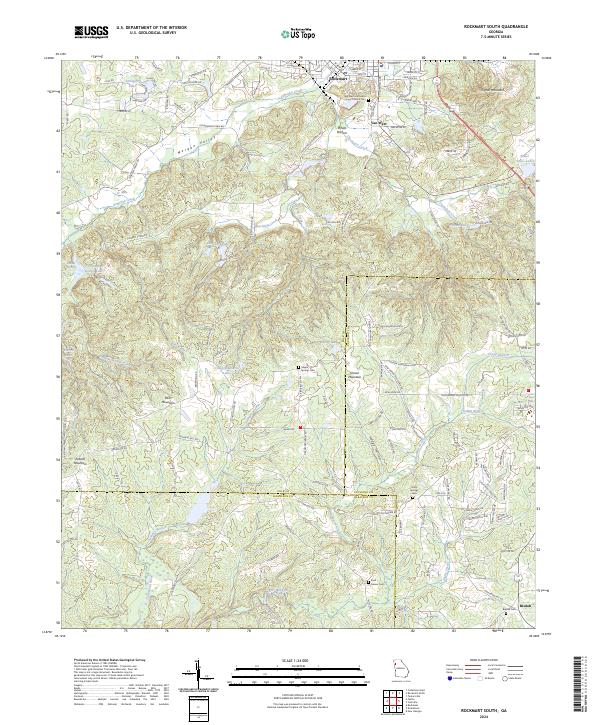
2024 Rockmart South
Polk County, GA