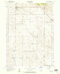
1953 Map of Bennett
USGS Topo · Published 1958About this map
Bennett and New Liberty stand as the primary anchors of this mid-century rural landscape, straddling the border of Cedar and Scott Counties. The map reveals an agrarian economy in transition, marked clearly by a Dismantled railroad that once linked these communities. At Bennett, the presence of a Grain Elevator next to the former rail line highlights the town's role as a collection point for the surrounding farms in Inland and Farmington townships.
Find a feature on this map
22 named features on this map. Tap any name to fly to it.
Don’t see what you’re looking for? This feature index may not catch every label — zoom into the map to look around manually.
Map Details
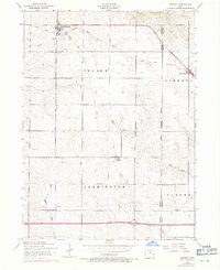
Editions of this 1953 Bennett Map
2 editions found
Other maps of this area

1889 · Tipton
USGS Topo · 1:62,500

1890 · Durant
USGS Topo · 1:62,500

1890 · Tipton
USGS Topo · 1:62,500

1891 · Wilton Junction
USGS Topo · 1:62,500

1892 · Wheatland
USGS Topo · 1:62,500

1894 · Wheatland
USGS Topo · 1:62,500

1894 · Durant
USGS Topo · 1:62,500

1901 · Rock Island
USGS Topo · 1:125,000

1901 · Stanwood
USGS Topo · 1:125,000

1910 · Rock Island
USGS Topo · 1:125,000