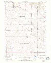
1953 Map of Bennett
USGS Topo · Published 1971About this map
Bennett serves as a primary hub of activity in this 1953 landscape, situated at the junction of local roads and a railroad line. The terrain is defined by the gentle drainage of Bennett Creek and Mud Creek, which wind through the agricultural townships of Inland, Liberty, and Farmington. A notable feature of the local infrastructure is the dismantled railroad corridor, reflecting the shifting transportation patterns of the mid-20th century as rail lines began to give way to improved highways.
Find a feature on this map
18 named features on this map. Tap any name to fly to it.
Don’t see what you’re looking for? This feature index may not catch every label — zoom into the map to look around manually.
Map Details
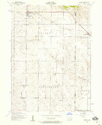
Editions of this 1953 Bennett Map
2 editions found
Other maps of this area

1889 · Tipton
USGS Topo · 1:62,500

1890 · Durant
USGS Topo · 1:62,500

1890 · Tipton
USGS Topo · 1:62,500

1891 · Wilton Junction
USGS Topo · 1:62,500

1892 · Wheatland
USGS Topo · 1:62,500

1894 · Wheatland
USGS Topo · 1:62,500

1894 · Durant
USGS Topo · 1:62,500

1901 · Rock Island
USGS Topo · 1:125,000

1901 · Stanwood
USGS Topo · 1:125,000

1910 · Rock Island
USGS Topo · 1:125,000