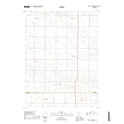
2017 Map of Bennett Reservoir NW
USGS Topo · Published 2017About this map
Rocky Hollow serves as a central topographic landmark in this high-plains landscape, where the northern Panhandle terrain transitions across the boundary of Banner Co and Kimball Co. The area is defined by a systematic grid of section lines and range townships, including t17n r56w and t18n r55w, illustrating the enduring legacy of the Public Land Survey System in Nebraska. This 2017 survey by the U.S. Geological Survey maps a rural expanse where the primary human footprint consists of a functional network of gravel and dirt county roads, such as Co Rd 14 and Co Rd 6, which support the region's ranching and agricultural operations. The absence of concentrated settlements emphasizes the open-range character of the territory near the Wyoming border.
Find a feature on this map
22 named features on this map. Tap any name to fly to it.
Don’t see what you’re looking for? This feature index may not catch every label — zoom into the map to look around manually.
Map Details
Editions of this 2017 Bennett Reservoir NW Map
This is the sole edition of this map. No revisions or reprints were ever made.
Other maps of this area

1898 · Scotts Bluff
USGS Topo · 1:125,000

1954 · Scottsbluff
USGS Topo · 1:250,000

1958 · Scottsbluff
USGS Topo · 1:250,000

1973 · Kimball 2 NE
USGS Topo · 1:24,000

1973 · Scotts Bluff 4 SE
USGS Topo · 1:24,000

1973 · Kimball 2 SE
USGS Topo · 1:24,000

1973 · Kimball 1 SE
USGS Topo · 1:24,000

1973 · Scotts Bluff 4 SW
USGS Topo · 1:24,000

1973 · Scotts Bluff 3 SE
USGS Topo · 1:24,000

1973 · Kimball 1 NE
USGS Topo · 1:24,000