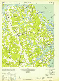
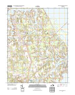
1952 Map of Benns Church
USGS Topo · Published 1952About this map
The Tidewater region of Virginia is defined here by the intricate shoreline where the James River meets the Nansemond River. This 1952 reprint of mid-1940s data reveals a landscape deeply connected to the water, with numerous points and coves such as Holly Point, Nix Cove, and Bonny Winall Pt shaping the settlement patterns. Transport relies heavily on crossings like the Crittenden Bridge and the James River Bridge, which connect the scattered communities of Carrollton, Rescue, and Hobson.
Find a feature on this map
67 named features on this map. Tap any name to fly to it.
Don’t see what you’re looking for? This feature index may not catch every label — zoom into the map to look around manually.
Map Details
Editions of this 1952 Benns Church Map
This is the sole edition of this map. No revisions or reprints were ever made.
Historical Maps of Smithfield Through Time
8 maps found
1952 Benns Church
Isle of Wight County, VA
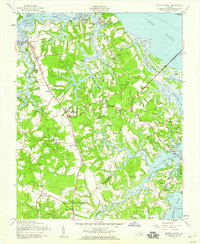
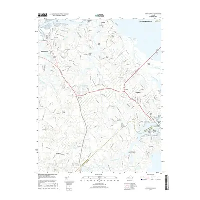
1957 Benns Church
Isle of Wight County, VA
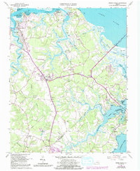
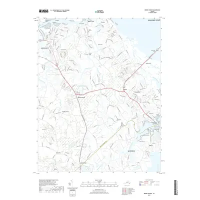
1965 Benns Church
Isle of Wight County, VA
2010 Benns Church
Isle of Wight County, VA
2013 Benns Church
Isle of Wight County, VA
2016 Benns Church
Isle of Wight County, VA
2019 Benns Church
Isle of Wight County, VA
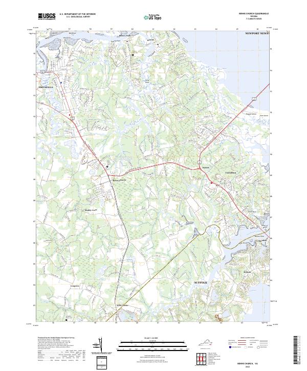
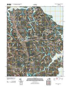
2022 Benns Church
Isle of Wight County, VA