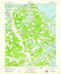
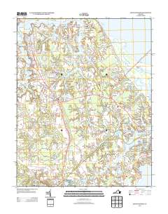
1957 Map of Benns Church
USGS Topo · Published 1960About this map
The Old Brick Ch (St Lukes Ch) anchors this coastal Virginia landscape, representing a significant architectural anchor in the community of Benns Church. The map illustrates a region defined by its tidal geography, where the Pagan River, Nansemond River, and James River converge. Settlement patterns follow the high ground between these marshes and creeks, with clusters at Smithfield and Battery Park reflecting the importance of waterfront access. The inclusion of the James River Bridge (Toll Bridge) highlights the mid-century infrastructure connecting the Peninsula to the Southside. A notable density of country churches and rural education sites, such as the Isle of Wight Sch and Bridger Sch, provides a detailed look at the social fabric of Isle of Wight and Nansemond counties during the late 1950s.
Find a feature on this map
70 named features on this map. Tap any name to fly to it.
Don’t see what you’re looking for? This feature index may not catch every label — zoom into the map to look around manually.
Map Details
Editions of this 1957 Benns Church Map
This is the sole edition of this map. No revisions or reprints were ever made.
Historical Maps of Smithfield Through Time
8 maps found
1952 Benns Church
Isle of Wight County, VA
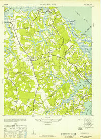
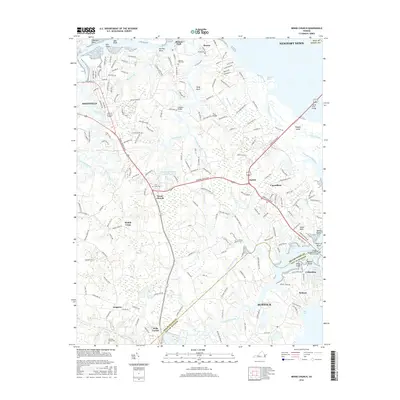
1957 Benns Church
Isle of Wight County, VA
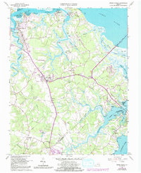
1965 Benns Church
Isle of Wight County, VA
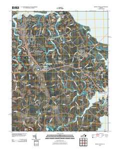
2010 Benns Church
Isle of Wight County, VA
2013 Benns Church
Isle of Wight County, VA
2016 Benns Church
Isle of Wight County, VA
2019 Benns Church
Isle of Wight County, VA
2022 Benns Church
Isle of Wight County, VA