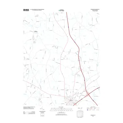
2013 Map of Benson
USGS Topo · Published 2013About this map
Benson serves as the focal point of this Johnston County study, positioned at a significant transportation nexus where Interstate 95 and Interstate 40 intersect. The landscape is defined by its intricate hydrography, featuring the broad Mingo Swamp and the headwaters of the Black River. These wetlands and tributaries, including E Mingo Cr and Hannah Cr, illustrate the complex drainage patterns that have historically influenced rural settlement and agriculture in this part of North Carolina.
Find a feature on this map
141 named features on this map. Tap any name to fly to it.
Don’t see what you’re looking for? This feature index may not catch every label — zoom into the map to look around manually.
Map Details
Editions of this 2013 Benson Map
This is the sole edition of this map. No revisions or reprints were ever made.
Other maps of this area

1906 · Four Oaks
USGS Topo · 1:48,000

1908 · Four Oaks
USGS Topo · 1:62,500

1953 · Raleigh
USGS Topo · 1:250,000

1954 · Raleigh
USGS Topo · 1:250,000

1964 · Selma
USGS Topo · 1:62,500

1964 · Angier
USGS Topo · 1:24,000

1964 · Edmondson
USGS Topo · 1:24,000

1964 · Garner
USGS Topo · 1:62,500

1964 · Powhatan
USGS Topo · 1:24,000

1973 · Benson
USGS Topo · 1:24,000