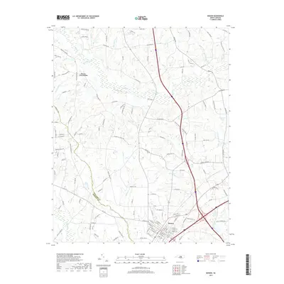
2019 Map of Benson
USGS Topo · Published 2019About this map
Benson serves as the primary urban hub on this Johnston County survey, situated at the intersection of major transit corridors that have shaped its development. The surrounding landscape is defined by a dense network of watercourses, including the extensive Mingo Swamp and the headwaters of the Black River. These hydrological features, along with smaller tributaries like Hannah Creek and East Mingo Creek, suggest a history of agricultural drainage and mill sites common to this region of North Carolina.
Find a feature on this map
127 named features on this map. Tap any name to fly to it.
Don’t see what you’re looking for? This feature index may not catch every label — zoom into the map to look around manually.
Map Details
Editions of this 2019 Benson Map
This is the sole edition of this map. No revisions or reprints were ever made.
Other maps of this area

1906 · Four Oaks
USGS Topo · 1:48,000

1908 · Four Oaks
USGS Topo · 1:62,500

1953 · Raleigh
USGS Topo · 1:250,000

1954 · Raleigh
USGS Topo · 1:250,000

1964 · Selma
USGS Topo · 1:62,500

1964 · Angier
USGS Topo · 1:24,000

1964 · Edmondson
USGS Topo · 1:24,000

1964 · Garner
USGS Topo · 1:62,500

1964 · Powhatan
USGS Topo · 1:24,000

1973 · Benson
USGS Topo · 1:24,000