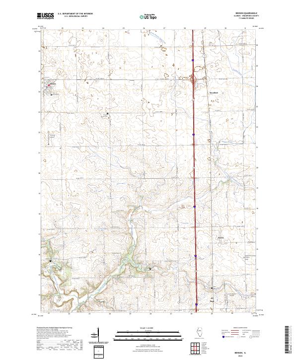
2024 Map of Benson
USGS Topo · Published 2024About this map
Panther Creek and its many winding tributaries, including the West Branch Panther Creek and East Branch Panther Creek, define the agricultural landscape of this Woodford County region. The terrain is organized by a meticulous grid of county roads, with Benson anchoring the northwest corner and the northern edge of El Paso appearing in the south. This area is a hub for small-scale aviation, as evidenced by Unzicker Airport, Barnstorm Field, and Corn Alley 2 Airport.
Find a feature on this map
35 named features on this map. Tap any name to fly to it.
Don’t see what you’re looking for? This feature index may not catch every label — zoom into the map to look around manually.
Map Details
Editions of this 2024 Benson Map
This is the sole edition of this map. No revisions or reprints were ever made.
Other maps of this area

1926 · Normal
USGS Topo · 1:62,500

1927 · Danvers
USGS Topo · 1:62,500

1930 · Danvers
USGS Topo · 1:62,500

1930 · Normal
USGS Topo · 1:62,500

1955 · Minonk
USGS Topo · 1:62,500

1958 · Flanagan
USGS Topo · 1:62,500

1958 · Peoria
USGS Topo · 1:250,000

1961 · Peoria
USGS Topo · 1:250,000

1963 · Peoria
USGS Topo · 1:250,000
1970 · Secor
USGS Topo · 1:24,000