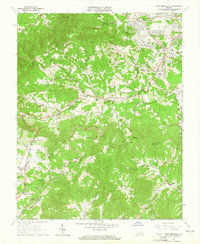
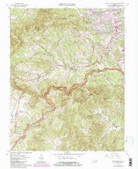
1963 Map of Bent Mountain
USGS Topo · Published 1965About this map
Bent Mountain and the high ridges of the Blue Ridge define this mid-century landscape where the suburban expansion of Cave Spring meets the agricultural uplands. The Blue Ridge Parkway winds through the center of the sheet, punctuated by numerous scenic points like the Poages Mill Overlook and Slings Gap Overlook. Lower-elevation communities such as Starkey and Naff are clustered near water sources like Back Creek and the South Fork of the Blackwater River. Local genealogy is well-represented through family-named landmarks and institutions, including the Kittinger Cem, Lancaster Ch, and the Lawrence Memorial Ch. The topography shows a transition from the developing residential corridors near Cave Spring High Sch to the high, isolated summits of Poor Mountain and Lost Mountain.
Find a feature on this map
70 named features on this map. Tap any name to fly to it.
Don’t see what you’re looking for? This feature index may not catch every label — zoom into the map to look around manually.
Map Details
Editions of this 1963 Bent Mountain Map
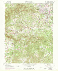
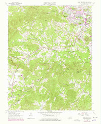
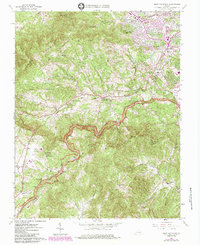
5 editions found
Other maps of this area

1890 · Roanoke
USGS Topo · 1:125,000

1890 · Christiansburg
USGS Topo · 1:125,000

1891 · Roanoke
USGS Topo · 1:125,000

1929 · Roanoke
USGS Topo · 1:48,000

1929 · Salem
USGS Topo · 1:48,000

1932 · Salem
USGS Topo · 1:62,500

1933 · Roanoke
USGS Topo · 1:62,500

1947 · Roanoke
USGS Topo · 1:250,000

1950 · Elliston
USGS Topo · 1:62,500

1951 · Boones Mill
USGS Topo · 1:62,500