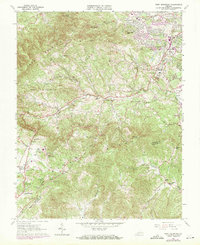
1963 Map of Bent Mountain
USGS Topo · Published 1971About this map
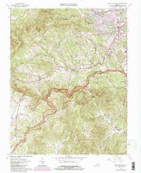
Poor Mountain and the Blue Ridge dominate this landscape south of Roanoke, where the transition from suburban development to steep timbered ridges is clearly visible. The 1970 revisions, marked in purple, show significant residential growth spreading from Cave Spring toward the base of the mountains. This era of expansion is anchored by modern infrastructure like the Cave Spring High Sch and Windsor Hills Ch, while older rural patterns remain further south. Along the Blue Ridge Parkway, numerous scenic turnouts such as Poages Mill Overlook and Masons Knob Overlook provide vantage points over the Back Creek valley.
Find a feature on this map
70 named features on this map. Tap any name to fly to it.
Don’t see what you’re looking for? This feature index may not catch every label — zoom into the map to look around manually.
Map Details
Editions of this 1963 Bent Mountain Map
5 editions found
Other maps of this area

1890 · Roanoke
USGS Topo · 1:125,000

1890 · Christiansburg
USGS Topo · 1:125,000

1891 · Roanoke
USGS Topo · 1:125,000

1929 · Roanoke
USGS Topo · 1:48,000

1929 · Salem
USGS Topo · 1:48,000

1932 · Salem
USGS Topo · 1:62,500

1933 · Roanoke
USGS Topo · 1:62,500

1947 · Roanoke
USGS Topo · 1:250,000

1950 · Elliston
USGS Topo · 1:62,500

1951 · Boones Mill
USGS Topo · 1:62,500