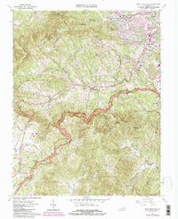
1963 Map of Bent Mountain
USGS Topo · Published 1984About this map
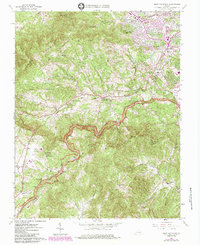
Bent Mountain and the high ridges of the Blue Ridge dominate this 1963 landscape, where suburban expansion near Cave Spring meets the rural upland communities of Roanoke Co and Franklin Co. The Blue Ridge Parkway winds along the crest of the range, dotted with numerous scenic overlooks like Masons Knob Overlook and Poor Mountain Overlook. These transport corridors provide a stark contrast to the scattered family cemeteries and rural churches found deeper in the hills, such as Henry Cem and Oak Grove Ch.
Find a feature on this map
74 named features on this map. Tap any name to fly to it.
Don’t see what you’re looking for? This feature index may not catch every label — zoom into the map to look around manually.
Map Details
Editions of this 1963 Bent Mountain Map
5 editions found
Other maps of this area

1890 · Roanoke
USGS Topo · 1:125,000

1890 · Christiansburg
USGS Topo · 1:125,000

1891 · Roanoke
USGS Topo · 1:125,000

1929 · Roanoke
USGS Topo · 1:48,000

1929 · Salem
USGS Topo · 1:48,000

1932 · Salem
USGS Topo · 1:62,500

1933 · Roanoke
USGS Topo · 1:62,500

1947 · Roanoke
USGS Topo · 1:250,000

1950 · Elliston
USGS Topo · 1:62,500

1951 · Boones Mill
USGS Topo · 1:62,500