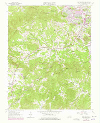
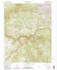
1963 Map of Bent Mountain
USGS Topo · Published 1978About this map
Bent Mountain rises sharply at the southern edge of this survey, where the Blue Ridge Parkway winds through gaps such as Slings Gap and Lancaster Gap. The map documents a period of rapid suburban transition around Cave Spring and the northern reaches of Roanoke Co, while the steep slopes of Poor Mountain and Lost Mountain remain largely undeveloped. The drainage patterns of Back Creek and Barnhardt Creek define the rugged topography, supporting small rural clusters like Poages Mill and Airpoint.
Find a feature on this map
76 named features on this map. Tap any name to fly to it.
Don’t see what you’re looking for? This feature index may not catch every label — zoom into the map to look around manually.
Map Details
Editions of this 1963 Bent Mountain Map
5 editions found
Other maps of this area

1890 · Roanoke
USGS Topo · 1:125,000

1890 · Christiansburg
USGS Topo · 1:125,000

1891 · Roanoke
USGS Topo · 1:125,000

1929 · Roanoke
USGS Topo · 1:48,000

1929 · Salem
USGS Topo · 1:48,000

1932 · Salem
USGS Topo · 1:62,500

1933 · Roanoke
USGS Topo · 1:62,500

1947 · Roanoke
USGS Topo · 1:250,000

1950 · Elliston
USGS Topo · 1:62,500

1951 · Boones Mill
USGS Topo · 1:62,500