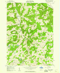
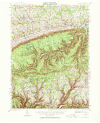
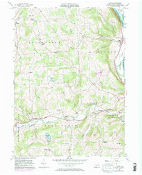
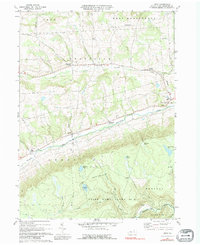
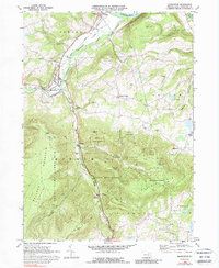
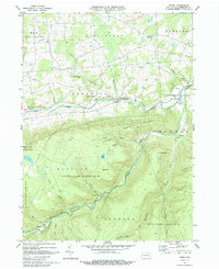
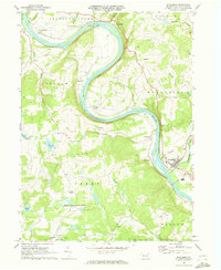
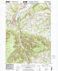
1957 Map of Bentley Creek
USGS Topo · Published 1958This historical map portrays the area of Bentley Creek in 1957, primarily covering Bradford County. Featuring a scale of 1:24000, this map provides a highly detailed snapshot of the terrain, roads, buildings, counties, and historical landmarks in the Bentley Creek region at the time. Published in 1958, it is one of 4 known editions of this map due to revisions or reprints.
Find a feature on this map
40 named features on this map. Tap any name to fly to it.
Don’t see what you’re looking for? This feature index may not catch every label — zoom into the map to look around manually.
Map Details
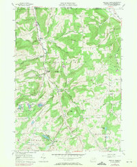
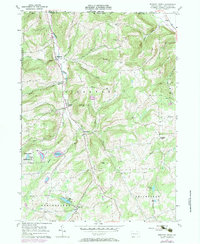
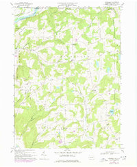
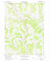
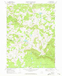
Editions of this 1957 Bentley Creek Map
4 editions found
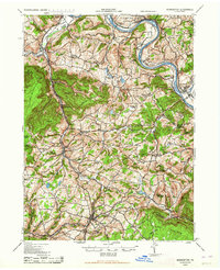
Historical Maps of Athens Township Through Time
16 maps found
1943 Monroeton
Bradford County, PA
1943 Powell
Bradford County, PA

1945 Powell
Bradford County, PA
1954 Gillett
Bradford County, PA
1957 Bentley Creek
Bradford County, PA
1957 East Troy
Bradford County, PA
1957 Ulster
Bradford County, PA
1967 Litchfield
Bradford County, PA
1967 Windham
Bradford County, PA
1969 Colley
Bradford County, PA
1969 Leroy
Bradford County, PA
1969 Monroeton
Bradford County, PA
1969 Powell
Bradford County, PA
1969 Wyalusing
Bradford County, PA
1999 Monroeton
Bradford County, PA
1999 Wyalusing
Bradford County, PA
Featured Locations
- Smithfield Township, PA
- South Creek Township, PA
- Springfield Township, PA
- Big Pond, Springfield Township
- Bentley Creek, Ridgebury Township