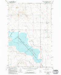
1965 Map of Benton Lake East
USGS Topo · Published 1994About this map
Benton Lake National Wildlife Refuge dominates this landscape along the border of Chouteau Co and Cascade Co. This mid-century survey illustrates an environment defined by water management and conservation, where multiple water control structures including Spillway Elev 3624 and Spillway Elev 3622 regulate the levels of Benton Lake. The presence of the Swall School and the historic Bootlegger Trail provides evidence of the rural community that persisted alongside these large-scale reclamation efforts. Beyond the lake bed, the terrain is marked by industrial activity such as a Gravel Pit and various Prospects, while a massive Pipeline cuts across the northern prairie. The map's detail, updated through the early 1990s, documents the specific engineering of the Road On Levee system that traverses the refuge wetlands.
Find a feature on this map
13 named features on this map. Tap any name to fly to it.
Don’t see what you’re looking for? This feature index may not catch every label — zoom into the map to look around manually.
Map Details
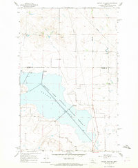
Editions of this 1965 Benton Lake East Map
2 editions found
Other maps of this area

1886 · Great Falls
USGS Topo · 1:250,000

1948 · Portage
USGS Topo · 1:62,500

1949 · Portage
USGS Topo · 1:62,500

1949 · Timber Coulee
USGS Topo · 1:62,500

1949 · Great Falls
USGS Topo · 1:62,500

1950 · Timber Coulee
USGS Topo · 1:62,500

1950 · Dent Bridge
USGS Topo · 1:62,500

1951 · Great Falls
USGS Topo · 1:62,500

1954 · Great Falls
USGS Topo · 1:250,000

1957 · Great Falls
USGS Topo · 1:250,000