Loading...
Loading map...2024 Map of Benton
USGS Topo · Published 2024About this map
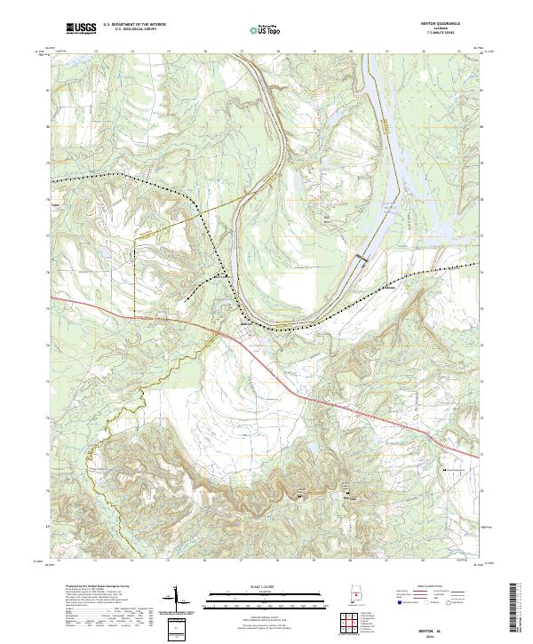
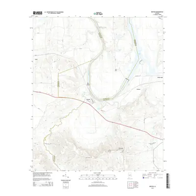
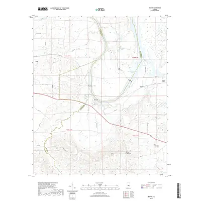
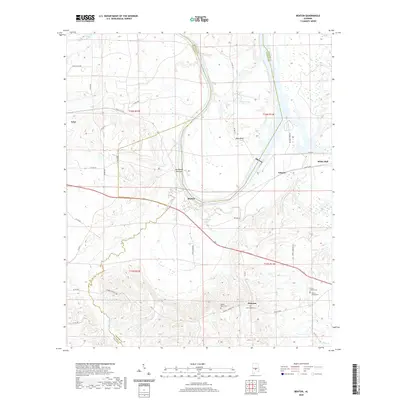
The Alabama River carves a sweeping path through this rural landscape at the intersection of Lowndes, Autauga, and Dallas counties. The small settlement of Benton sits at a strategic bend in the river, just north of B C Rhyne Lake. Further east, the R E 'Bob' Woodruff Reservoir dominates the drainage of the Alabama River, creating a complex network of wetlands and seasonal water bodies like Richard Lake.
Find a feature on this map
45 named features on this map. Tap any name to fly to it.
Don’t see what you’re looking for? This feature index may not catch every label — zoom into the map to look around manually.
Map Details
Date Portrayed2024
Date Published2024
PublisherU.S. Geological Survey
Map TypeTopographic
Scale1:24,000
Physical Dimensions24 x 29 inches
Editions of this 2024 Benton Map
This is the sole edition of this map. No revisions or reprints were ever made.
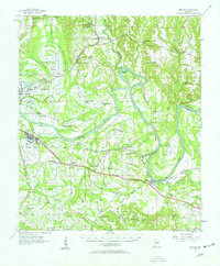
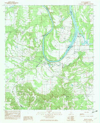
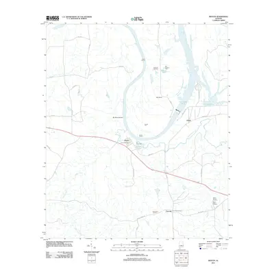
Historical Maps of White Hall Through Time
7 maps found
Featured Locations
Source Details
SourceU.S. Geological Survey
CopyrightPublic Domain