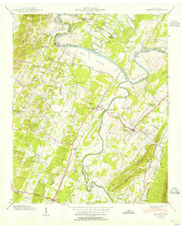
1940 Map of Benton
USGS Topo · Published 1954About this map
The Hiwassee River and Ocoee River define this Southeast Tennessee landscape, converging amidst a patchwork of bottomlands and ridges just before the onset of major mid-century industrial changes. Centered on the town of Benton, the area reveals a rural economy tied to the waterways and the Louisville and Nashville railroad line. Industrial remnants of an earlier era are visible at Chestuee Mills and the Old Wilson Mill, while the rising waters of the Chickamauga Res at the northern edge of the map signal the Tennessee Valley Authority's transformative influence on the region's geography.
Find a feature on this map
78 named features on this map. Tap any name to fly to it.
Don’t see what you’re looking for? This feature index may not catch every label — zoom into the map to look around manually.
Map Details
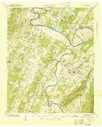
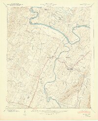
Editions of this 1940 Benton Map
3 editions found
Other maps of this area

1886 · Cleveland
USGS Topo · 1:125,000

1892 · Cleveland
USGS Topo · 1:125,000

1895 · Cleveland
USGS Topo · 1:125,000

1901 · Cleveland
USGS Topo · 1:125,000

1935 · East Cleveland
USGS Topo · 1:24,000

1935 · Calhoun
USGS Topo · 1:24,000

1935 · Benton
USGS Topo · 1:24,000

1935 · Felker
USGS Topo · 1:24,000

1935 · Charleston
USGS Topo · 1:24,000
1935 · Parksville
USGS Topo · 1:24,000