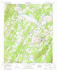
1967 Map of Benton
USGS Topo · Published 1977About this map
The Hiwassee River and Ocoee River define the landscape of central Polk County, where the valley floor transitions into the rising slopes of Chilhowee Mountain. This 1967 survey captures the area as it appeared before mid-century changes fully modernized the rural infrastructure, showing a dense network of local landmarks such as Nancy Ward Cem and Polk County High School in Benton. The rail-and-river economy is evident in the path of the Louisville and Nashville railroad and the various landings and crossings like Benton Station. Numerous country churches and cemeteries, including Baker Chapel Cem and Union Grove Ch, are scattered throughout the agricultural bottomlands of Boyd Bottoms and the surrounding Red Hills. Historic travel routes like the Copper Road and Benton Pike connect these small communities to the larger region.
Find a feature on this map
62 named features on this map. Tap any name to fly to it.
Don’t see what you’re looking for? This feature index may not catch every label — zoom into the map to look around manually.
Map Details
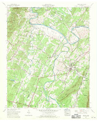
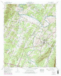
Editions of this 1967 Benton Map
3 editions found
Other maps of this area

1886 · Cleveland
USGS Topo · 1:125,000

1892 · Cleveland
USGS Topo · 1:125,000

1895 · Cleveland
USGS Topo · 1:125,000

1901 · Cleveland
USGS Topo · 1:125,000

1935 · East Cleveland
USGS Topo · 1:24,000

1935 · Calhoun
USGS Topo · 1:24,000

1935 · Benton
USGS Topo · 1:24,000

1935 · Felker
USGS Topo · 1:24,000

1935 · Charleston
USGS Topo · 1:24,000
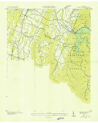
1935 · Parksville
USGS Topo · 1:24,000