
1938 Map of Benton
USGS Topo · Published 1938About this map
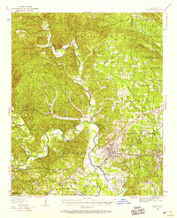
The Saline River and its major tributaries, such as the Alum Fork and Hurricane Creek, define this central Arkansas landscape in the late 1930s. The regional economy is clearly anchored by extractive industry, specifically at the Bauxite Mines and the rail hub at Bauxite Junction. The Missouri Pacific railroad lines facilitate the movement of ore and goods through the county, connecting the bustling seat of Benton to smaller communities like Haskell and Tatumville.
Find a feature on this map
88 named features on this map. Tap any name to fly to it.
Don’t see what you’re looking for? This feature index may not catch every label — zoom into the map to look around manually.
Map Details
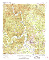
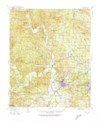
Editions of this 1938 Benton Map
4 editions found
Other maps of this area

1890 · Benton
USGS Topo · 1:125,000

1891 · Little Rock
USGS Topo · 1:125,000

1893 · Little Rock
USGS Topo · 1:125,000

1894 · Benton
USGS Topo · 1:125,000

1935 · Alexander
USGS Topo · 1:48,000

1941 · Alexander
USGS Topo · 1:62,500

1943 · Pinnacle Mtn
USGS Topo · 1:31,680

1944 · Benton
USGS Topo · 1:62,500

1944 · Alexander
USGS Topo · 1:31,680

1944 · Bryant
USGS Topo · 1:31,680