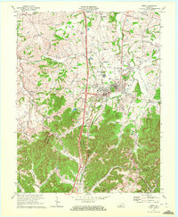
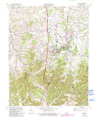
1970 Map of Berea
USGS Topo · Published 1972About this map
Berea College sits at the heart of this landscape, anchoring the eastern foothills where the Bluegrass region meets the rising Appalachian plateau. The 1970 field check documents a town in transition, showing the density of campus buildings alongside industrial developments like the sewage disposal plant and various radio towers. To the south, the topography shifts dramatically toward Bear Mtn and Boone Gap, where the Louisville and Nashville railroad winds through the narrow valleys of Roundstone Creek.
Find a feature on this map
54 named features on this map. Tap any name to fly to it.
Don’t see what you’re looking for? This feature index may not catch every label — zoom into the map to look around manually.
Map Details
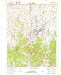
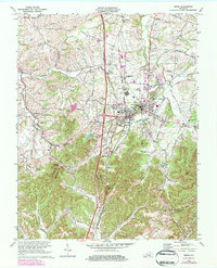
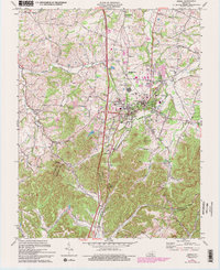
Editions of this 1970 Berea Map
5 editions found
Other maps of this area

1892 · Richmond
USGS Topo · 1:125,000

1893 · London
USGS Topo · 1:125,000

1897 · Richmond
USGS Topo · 1:125,000

1897 · London
USGS Topo · 1:125,000

1952 · Berea
USGS Topo · 1:24,000

1952 · Paint Lick
USGS Topo · 1:24,000

1952 · Kirksville
USGS Topo · 1:24,000

1952 · Bighill
USGS Topo · 1:24,000

1952 · Moberly
USGS Topo · 1:24,000

1953 · Richmond South
USGS Topo · 1:24,000