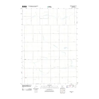
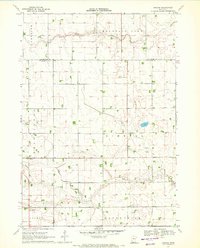
2010 Map of Bergen
USGS Topo · Published 2010About this map
The settlement of Bergen sits at the intersection of a grid of rural roads in Jackson County, marking a classic Upper Midwest agricultural landscape. The township is defined by its water drainage patterns, notably the meandering path of the South Fork Watonwan River in the north and the confluence of Elm Creek and the North Fork Elm Creek in the south. These natural waterways are supplemented by engineered agricultural infrastructure like Judicial Ditch Number Thirtythree, illustrating the intensive management of the land for farming.
Find a feature on this map
25 named features on this map. Tap any name to fly to it.
Don’t see what you’re looking for? This feature index may not catch every label — zoom into the map to look around manually.
Map Details
Editions of this 2010 Bergen Map
This is the sole edition of this map. No revisions or reprints were ever made.
Other maps of this area

1954 · Fairmont
USGS Topo · 1:250,000

1958 · Fairmont
USGS Topo · 1:250,000

1970 · Jackson NW
USGS Topo · 1:24,000
1970 · Butterfield
USGS Topo · 1:24,000

1970 · Lakefield NE
USGS Topo · 1:24,000
1970 · Bingham Lake
USGS Topo · 1:24,000

1970 · Mountain Lake SE
USGS Topo · 1:24,000
1970 · Mountain Lake
USGS Topo · 1:24,000

1970 · Windom
USGS Topo · 1:24,000
1970 · Bergen
USGS Topo · 1:24,000