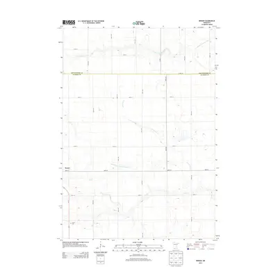
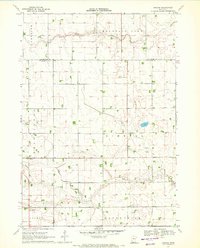
2013 Map of Bergen
USGS Topo · Published 2013About this map
Bergen serves as the primary landmark in this rural landscape at the border of Cottonwood Co and Jackson Co. The area is defined by a dense grid of section roads, including 550th Ave and 900th St, which navigate a complex drainage system essential to the regional agricultural economy. Waterways like the S Fork Watonwan River in the north and Elm Cr to the south create natural deviations in the otherwise rectilinear survey lines. For those researching local heritage, the Hauges Cem near the intersection of Us-71 and 890th St offers a specific point of interest. This 2013 survey also highlights large-scale water management projects like Judicial Ditch Number Thirtythree, illustrating the human engineering required to maintain the productivity of these prairie lands.
Find a feature on this map
22 named features on this map. Tap any name to fly to it.
Don’t see what you’re looking for? This feature index may not catch every label — zoom into the map to look around manually.
Map Details
Editions of this 2013 Bergen Map
This is the sole edition of this map. No revisions or reprints were ever made.
Other maps of this area

1954 · Fairmont
USGS Topo · 1:250,000

1958 · Fairmont
USGS Topo · 1:250,000

1970 · Jackson NW
USGS Topo · 1:24,000
1970 · Butterfield
USGS Topo · 1:24,000

1970 · Lakefield NE
USGS Topo · 1:24,000
1970 · Bingham Lake
USGS Topo · 1:24,000

1970 · Mountain Lake SE
USGS Topo · 1:24,000
1970 · Mountain Lake
USGS Topo · 1:24,000

1970 · Windom
USGS Topo · 1:24,000
1970 · Bergen
USGS Topo · 1:24,000