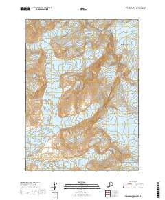
2017 Map of Bering Glacier A-3 NW
USGS Topo · Published 2017About this map
Wrangell-Saint Elias National Park dominates the eastern boundary of this high-latitude terrain, where a massive system of ice flows shapes the earth. The landscape is defined by the convergence of several major glaciers, including Leeper Glacier, Watson Glacier, and the Yakataga Glacier. These frozen rivers descend from high peaks like Yaga Peak and Mt Eberly in the south, illustrating the slow but powerful movement of ice within the Saint Elias Mountains.
Find a feature on this map
15 named features on this map. Tap any name to fly to it.
Don’t see what you’re looking for? This feature index may not catch every label — zoom into the map to look around manually.
Map Details
Editions of this 2017 Bering Glacier A-3 NW Map
This is the sole edition of this map. No revisions or reprints were ever made.
Other maps of this area

1948 · Bering Glacier A-4
USGS Topo · 1:63,360

1950 · Bering Glacier A-3
USGS Topo · 1:63,360

1950 · Bering Glacier
USGS Topo · 1:250,000

1951 · Bering Glacier
USGS Topo · 1:250,000
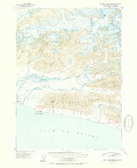
1951 · Bering Glacier A-4
USGS Topo · 1:63,360

1959 · Bering Glacier
USGS Topo · 1:250,000
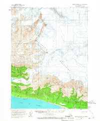
1959 · Bering Glacier A-3
USGS Topo · 1:63,360
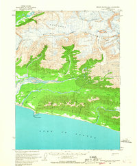
1959 · Bering Glacier A-4
USGS Topo · 1:63,360
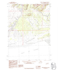
1984 · Bering Glacier A-4
USGS Topo · 1:63,360
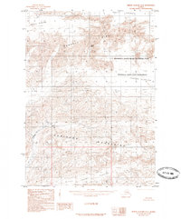
1985 · Bering Glacier B-4
USGS Topo · 1:63,360