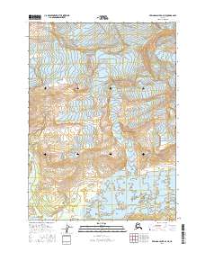
2016 Map of Bering Glacier A-4 NE
USGS Topo · Published 2016About this map
Leeper Glacier and Watson Glacier dominate this glacial landscape near the Gulf of Alaska, descending from high ice fields toward the coastal plains. The ice masses are separated by the prominent Dahlgren Ridge, which forms a continuous spine of high terrain across the center of the quadrangle. This 2016 survey captures the contemporary state of these glaciers and the braided drainage patterns that emerge at their termini. In the southern portion of the map, the terrain levels into the alluvial flats of the North Channel Yakataga River, also labeled as the N Channel Yakataga River. Small drainages like Porcupine Creek cut through the lower elevations, illustrating the dynamic hydrology of a region defined by seasonal melt and glacial movement.
Find a feature on this map
12 named features on this map. Tap any name to fly to it.
Don’t see what you’re looking for? This feature index may not catch every label — zoom into the map to look around manually.
Map Details
Editions of this 2016 Bering Glacier A-4 NE Map
This is the sole edition of this map. No revisions or reprints were ever made.
Other maps of this area

1948 · Bering Glacier A-4
USGS Topo · 1:63,360

1950 · Bering Glacier A-3
USGS Topo · 1:63,360

1950 · Bering Glacier
USGS Topo · 1:250,000

1951 · Bering Glacier
USGS Topo · 1:250,000
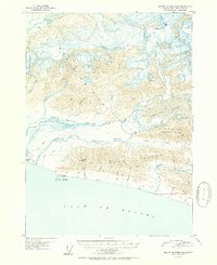
1951 · Bering Glacier A-4
USGS Topo · 1:63,360

1959 · Bering Glacier
USGS Topo · 1:250,000
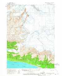
1959 · Bering Glacier A-3
USGS Topo · 1:63,360
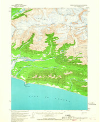
1959 · Bering Glacier A-4
USGS Topo · 1:63,360
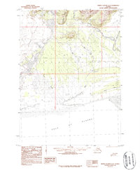
1984 · Bering Glacier A-4
USGS Topo · 1:63,360
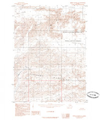
1985 · Bering Glacier B-4
USGS Topo · 1:63,360