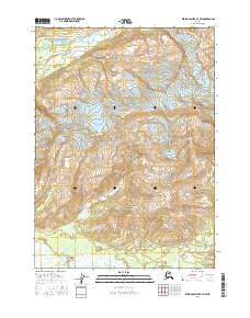
2016 Map of Bering Glacier A-4 NW
USGS Topo · Published 2016About this map
The high peaks of the Robinson Mountains dominate this 2016 survey, where the glacial influence on the landscape is immediately apparent. In the northeastern corner, the Leeper Glacier carved the terrain, feeding a network of drainages that flow southward toward the coast. To the west, Duktoth Mtn stands as a prominent landmark overlooking the upper reaches of Cotton Cr.
Find a feature on this map
17 named features on this map. Tap any name to fly to it.
Don’t see what you’re looking for? This feature index may not catch every label — zoom into the map to look around manually.
Map Details
Editions of this 2016 Bering Glacier A-4 NW Map
This is the sole edition of this map. No revisions or reprints were ever made.
Other maps of this area

1948 · Bering Glacier A-4
USGS Topo · 1:63,360

1950 · Bering Glacier
USGS Topo · 1:250,000

1951 · Bering Glacier
USGS Topo · 1:250,000
1951 · Bering Glacier A-4
USGS Topo · 1:63,360

1959 · Bering Glacier
USGS Topo · 1:250,000
1959 · Bering Glacier A-4
USGS Topo · 1:63,360
1984 · Bering Glacier A-5
USGS Topo · 1:63,360
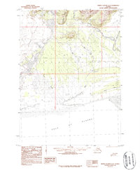
1984 · Bering Glacier A-4
USGS Topo · 1:63,360
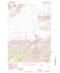
1985 · Bering Glacier B-5
USGS Topo · 1:63,360
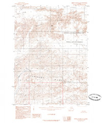
1985 · Bering Glacier B-4
USGS Topo · 1:63,360