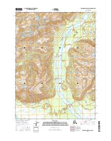
2016 Map of Bering Glacier A-5 NE
USGS Topo · Published 2016About this map
The Duktoth River serves as the central geological axis for this 2016 survey, carving a wide alluvial valley through the high peaks of the Yakutat region. To the east, the steep elevations of Duktoth Mtn rise sharply from the riverbanks, while the western flank is dominated by the massive profile of Kulthieth Mtn. The river's braided drainage pattern, characterized by shifting channels and extensive gravel beds, illustrates the dynamic hydrological activity common to the drainage basins surrounding the Bering Glacier. Smaller watercourses such as Hope Cr and Cotton Creek contribute to this complex watershed, feeding into the primary river system from the surrounding highlands. The absence of permanent structures or roads reflects the primitive and unmanaged state of this wilderness area in the early 21st century.
Find a feature on this map
11 named features on this map. Tap any name to fly to it.
Don’t see what you’re looking for? This feature index may not catch every label — zoom into the map to look around manually.
Map Details
Editions of this 2016 Bering Glacier A-5 NE Map
This is the sole edition of this map. No revisions or reprints were ever made.
Other maps of this area

1948 · Bering Glacier A-4
USGS Topo · 1:63,360

1950 · Bering Glacier
USGS Topo · 1:250,000

1951 · Bering Glacier
USGS Topo · 1:250,000
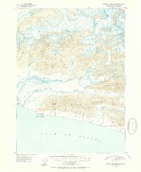
1951 · Bering Glacier A-4
USGS Topo · 1:63,360

1959 · Bering Glacier
USGS Topo · 1:250,000
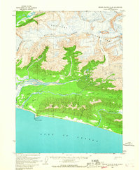
1959 · Bering Glacier A-4
USGS Topo · 1:63,360
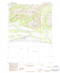
1984 · Bering Glacier A-5
USGS Topo · 1:63,360
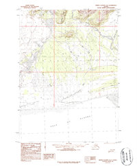
1984 · Bering Glacier A-4
USGS Topo · 1:63,360
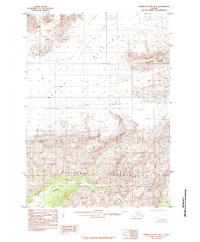
1985 · Bering Glacier B-5
USGS Topo · 1:63,360
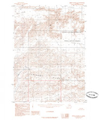
1985 · Bering Glacier B-4
USGS Topo · 1:63,360