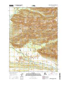
2016 Map of Bering Glacier A-5 NW
USGS Topo · Published 2016About this map
Kaliakh River dominates the glacial drainage pattern of this landscape in the Yakutat region of Alaska. The river system winds through extensive wetland complexes and braided channels that characterize the coastal transition between the high mountain ranges and the Gulf of Alaska. Unlike more settled regions, this area is defined by its natural watercourses and the dynamic shifting of the Kaliakh River across the alluvial plain. The map provides precise topographic detail of the valley floor and the surrounding high-elevation contours, documenting the precise hydrology of this remote wilderness area before subsequent seasonal or seismic shifts could alter the path of the river.
Find a feature on this map
1 named feature on this map. Tap any name to fly to it.
Don’t see what you’re looking for? This feature index may not catch every label — zoom into the map to look around manually.
Map Details
Editions of this 2016 Bering Glacier A-5 NW Map
This is the sole edition of this map. No revisions or reprints were ever made.
Other maps of this area

1950 · Bering Glacier
USGS Topo · 1:250,000

1951 · Bering Glacier
USGS Topo · 1:250,000

1959 · Bering Glacier
USGS Topo · 1:250,000
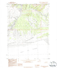
1984 · Bering Glacier A-6
USGS Topo · 1:63,360
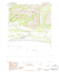
1984 · Bering Glacier A-5
USGS Topo · 1:63,360
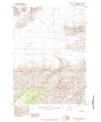
1985 · Bering Glacier B-5
USGS Topo · 1:63,360
1985 · Bering Glacier B-6
USGS Topo · 1:63,360
2016 · Bering Glacier A-5 SE
USGS Topo · 1:25,000
2016 · Bering Glacier A-6 NE
USGS Topo · 1:25,000
2016 · Bering Glacier A-5 NE
USGS Topo · 1:25,000