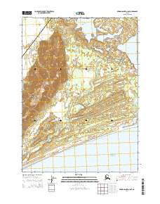
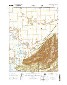
2014 Map of Bering Glacier A-8 SE
USGS Topo · Published 2014About this map
The Suckling Hills rise as a prominent landform above the coastal lowlands in this remote stretch of the Alaskan shoreline. The landscape is defined by a complex network of glacial meltwater channels and tidewater influences, most notably where the Okalee River, Seal River, and Kiklukh River wind through shifting flats toward the Gulf of Alaska. The presence of Vitus Lake in the northeastern corner suggests a dynamic glacial environment, as its waters are traditionally fed by the nearby Bering Glacier system.
Find a feature on this map
12 named features on this map. Tap any name to fly to it.
Don’t see what you’re looking for? This feature index may not catch every label — zoom into the map to look around manually.
Map Details
Editions of this 2014 Bering Glacier A-8 SE Map
This is the sole edition of this map. No revisions or reprints were ever made.
Other maps of this area

1950 · Bering Glacier
USGS Topo · 1:250,000

1950 · Icy Bay
USGS Topo · 1:250,000

1951 · Icy Bay
USGS Topo · 1:250,000

1951 · Bering Glacier
USGS Topo · 1:250,000

1959 · Bering Glacier
USGS Topo · 1:250,000

1961 · Icy Bay
USGS Topo · 1:250,000
1984 · Bering Glacier A-8
USGS Topo · 1:63,360
1984 · Bering Glacier A-7
USGS Topo · 1:63,360
2014 · Bering Glacier A-8 NW
USGS Topo · 1:25,000
2014 · Bering Glacier A-8 SW
USGS Topo · 1:25,000