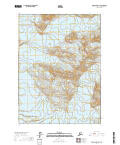
2017 Map of Bering Glacier B-2 SE
USGS Topo · Published 2017About this map
Wrangell-Saint Elias National Park encompasses the majority of this high-latitude terrain, where the extreme topography of the Alaska coast is recorded with precision. The southern portion of the sheet is dominated by the Yahyse Glacier, part of the massive ice complex feeding the Bering Glacier system. This 2017 survey by the U.S. Geological Survey provides an intricate view of glacial movement and elevation contours, marking the transition between frozen mountain slopes and the moving ice of the glacier. The map is defined by its absence of human infrastructure, focusing instead on the shifting physical boundaries of one of North America's most dynamic glacial environments.
Find a feature on this map
6 named features on this map. Tap any name to fly to it.
Don’t see what you’re looking for? This feature index may not catch every label — zoom into the map to look around manually.
Map Details
Editions of this 2017 Bering Glacier B-2 SE Map
This is the sole edition of this map. No revisions or reprints were ever made.
Other maps of this area

1950 · Bering Glacier
USGS Topo · 1:250,000

1951 · Bering Glacier
USGS Topo · 1:250,000

1951 · Bering Glacier A-2
USGS Topo · 1:63,360

1959 · Bering Glacier
USGS Topo · 1:250,000

1959 · Bering Glacier A-2
USGS Topo · 1:63,360
1985 · Bering Glacier B-1
USGS Topo · 1:63,360
1985 · Bering Glacier A-1
USGS Topo · 1:63,360
1985 · Bering Glacier B-2
USGS Topo · 1:63,360
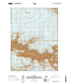
2017 · Bering Glacier B-2 NW
USGS Topo · 1:25,000
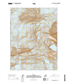
2017 · Bering Glacier A-2 NW
USGS Topo · 1:25,000