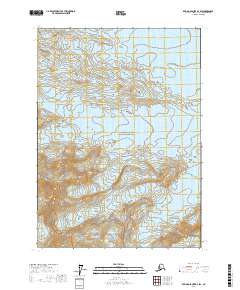
2017 Map of Bering Glacier B-3 SW
USGS Topo · Published 2017About this map
Wrangell-Saint Elias National Park covers the central portion of this survey, protecting a landscape dominated by massive ice fields and high-elevation topography. The terrain is defined by the convergence of several major ice flows, including the Yahtse Glacier in the northeast and the Leeper Glacier in the southwest. These frozen rivers carve deep paths through the mountains, separated by prominent landforms such as Dahlgren Ridge. Toward the southern boundary, the Watson Glacier and Yakataga Glacier are mapped as they descend from the high peaks. This 2017 edition by the U.S. Geological Survey provides precise elevation data for summits like Mt Leeper, where contour lines reveal the steep vertical relief of the Alaska coast range. The map illustrates a wilderness shaped entirely by glacial movement, where the ice itself forms the primary geographical feature and defines the movement of water across the territory.
Find a feature on this map
11 named features on this map. Tap any name to fly to it.
Don’t see what you’re looking for? This feature index may not catch every label — zoom into the map to look around manually.
Map Details
Editions of this 2017 Bering Glacier B-3 SW Map
This is the sole edition of this map. No revisions or reprints were ever made.
Other maps of this area

1948 · Bering Glacier A-4
USGS Topo · 1:63,360

1950 · Bering Glacier A-3
USGS Topo · 1:63,360

1950 · Bering Glacier
USGS Topo · 1:250,000

1951 · Bering Glacier
USGS Topo · 1:250,000
1951 · Bering Glacier A-4
USGS Topo · 1:63,360

1959 · Bering Glacier
USGS Topo · 1:250,000
1959 · Bering Glacier A-3
USGS Topo · 1:63,360
1959 · Bering Glacier A-4
USGS Topo · 1:63,360
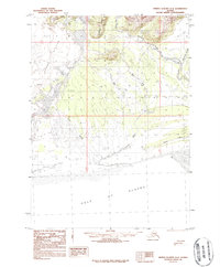
1984 · Bering Glacier A-4
USGS Topo · 1:63,360
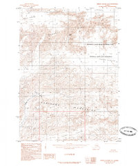
1985 · Bering Glacier B-4
USGS Topo · 1:63,360