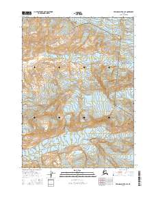
2016 Map of Bering Glacier B-4 SE
USGS Topo · Published 2016About this map
Wrangell-Saint Elias National Park encompasses the eastern reaches of this landscape, where the high-altitude terrain is dominated by the movement of massive ice fields. The northern and eastern boundaries are defined by the Yahtse Glacier, which flows through the steep elevations of the Saint Elias Mountains. Further south, the Leeper Glacier carves through the central valleys, illustrative of the dynamic glacial activity that continues to shape this portion of the Alaska coast. Aside from these frozen giants, the prominent Dahlgren Ridge rises in the southeast, providing a rare stretch of exposed land amidst the surrounding ice. This survey captures a wilderness largely untouched by permanent settlement, focused instead on the geological giants that define the regional hydrology and topography.
Find a feature on this map
8 named features on this map. Tap any name to fly to it.
Don’t see what you’re looking for? This feature index may not catch every label — zoom into the map to look around manually.
Map Details
Editions of this 2016 Bering Glacier B-4 SE Map
This is the sole edition of this map. No revisions or reprints were ever made.
Other maps of this area

1948 · Bering Glacier A-4
USGS Topo · 1:63,360

1950 · Bering Glacier A-3
USGS Topo · 1:63,360

1950 · Bering Glacier
USGS Topo · 1:250,000

1951 · Bering Glacier
USGS Topo · 1:250,000
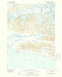
1951 · Bering Glacier A-4
USGS Topo · 1:63,360

1959 · Bering Glacier
USGS Topo · 1:250,000
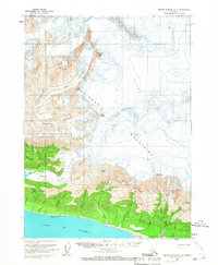
1959 · Bering Glacier A-3
USGS Topo · 1:63,360
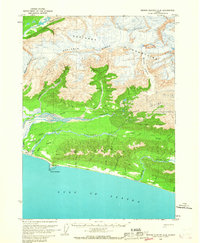
1959 · Bering Glacier A-4
USGS Topo · 1:63,360
1984 · Bering Glacier A-4
USGS Topo · 1:63,360
1985 · Bering Glacier B-4
USGS Topo · 1:63,360