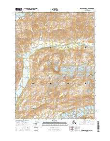
2016 Map of Bering Glacier B-4 SW
USGS Topo · Published 2016About this map
Robinson Mountains define the interior of this Alaskan landscape, where glacial activity and hydraulic systems dominate the terrain. This 2016 survey, produced by the U.S. Geological Survey, illustrates the complex geography of the Bering Glacier as it feeds into the surrounding environment. The massive scale of the Bering Glacier in the northwest is countered by the Leeper Glacier in the southeast, framing the central topographic reliefs. Between these ice-bound regions, the Duktoth River carves a path through the valley, reflecting the dynamic hydrologic patterns of the Yakutat region. The map provides a detailed view of the township and range boundaries, including t18s r17e and t19s r18e, offering a precise look at the land division in this glaciated wilderness.
Find a feature on this map
8 named features on this map. Tap any name to fly to it.
Don’t see what you’re looking for? This feature index may not catch every label — zoom into the map to look around manually.
Map Details
Editions of this 2016 Bering Glacier B-4 SW Map
This is the sole edition of this map. No revisions or reprints were ever made.
Other maps of this area

1948 · Bering Glacier A-4
USGS Topo · 1:63,360

1950 · Bering Glacier
USGS Topo · 1:250,000

1951 · Bering Glacier
USGS Topo · 1:250,000
1951 · Bering Glacier A-4
USGS Topo · 1:63,360

1959 · Bering Glacier
USGS Topo · 1:250,000
1959 · Bering Glacier A-4
USGS Topo · 1:63,360
1984 · Bering Glacier A-5
USGS Topo · 1:63,360
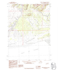
1984 · Bering Glacier A-4
USGS Topo · 1:63,360
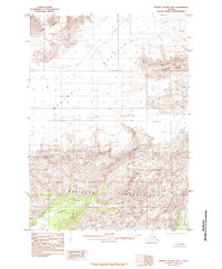
1985 · Bering Glacier B-5
USGS Topo · 1:63,360
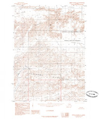
1985 · Bering Glacier B-4
USGS Topo · 1:63,360