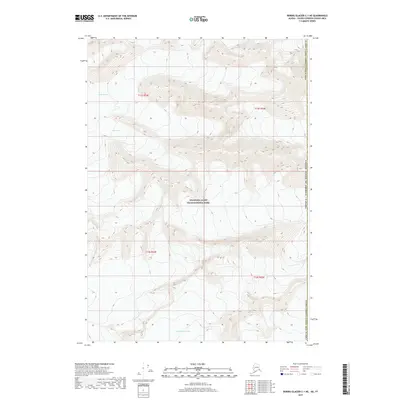
2017 Map of Bering Glacier C-1 NE
USGS Topo · Published 2017About this map
Wrangell-Saint Elias National Park encompasses this high-altitude landscape along the international border in the Alaska Valdez-Cordova Census Area. The terrain is defined by the massive movement of ice, featuring the convergent flows of the Fraser Glacier, Logan Glacier, and the Quintino Sella Glacier. This 2017 survey documents the precise topography of these ice fields and the surrounding peaks at the boundary between the United States of America and Canada. The layout of township and range lines, such as t13s r24e and t14s r25e, provides a geometric framework for this otherwise fluid and shifting glacial environment. These massive ice systems represent some of the most significant frozen water bodies in the region, serving as a record of glacial extent and elevation during the early 21st century.
Find a feature on this map
14 named features on this map. Tap any name to fly to it.
Don’t see what you’re looking for? This feature index may not catch every label — zoom into the map to look around manually.
Map Details
Editions of this 2017 Bering Glacier C-1 NE Map
This is the sole edition of this map. No revisions or reprints were ever made.
Other maps of this area

1950 · Bering Glacier
USGS Topo · 1:250,000

1951 · Bering Glacier
USGS Topo · 1:250,000

1951 · Mt Saint Elias
USGS Topo · 1:250,000

1959 · Bering Glacier
USGS Topo · 1:250,000

1959 · Mt Saint Elias
USGS Topo · 1:250,000
1984 · Bering Glacier D-1
USGS Topo · 1:63,360
1985 · Bering Glacier C-1
USGS Topo · 1:63,360
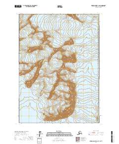
2017 · Bering Glacier C-1 SE
USGS Topo · 1:25,000
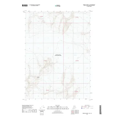
2017 · Bering Glacier C-1 SW
USGS Topo · 1:25,000
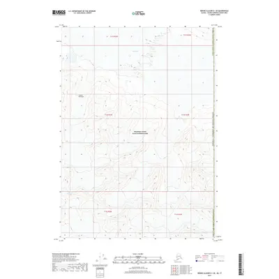
2017 · Bering Glacier D-1 SE
USGS Topo · 1:25,000