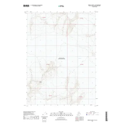
2017 Map of Bering Glacier C-1 SW
USGS Topo · Published 2017About this map
Wrangell-Saint Elias National Park encompasses much of this high-elevation Alaskan territory, where the vast ice of the Bering Glacier meets the steep rising slopes of the Chugach Mountains. This modern topographic study reveals a landscape dominated by extreme verticality and glacial activity, with contour lines tightly packed to indicate sharp ridges and deep ice-carved valleys. The map provides a precise record of the glacial extent and topographic contours within the Unorganized Borough, documenting the physical state of one of North America's most significant ice fields. The lack of human settlements or infrastructure emphasizes the purely natural and protected character of this wilderness area at the edge of the Valdez-Cordova Census Area.
Find a feature on this map
9 named features on this map. Tap any name to fly to it.
Don’t see what you’re looking for? This feature index may not catch every label — zoom into the map to look around manually.
Map Details
Editions of this 2017 Bering Glacier C-1 SW Map
This is the sole edition of this map. No revisions or reprints were ever made.
Other maps of this area

1950 · Bering Glacier
USGS Topo · 1:250,000

1951 · Bering Glacier
USGS Topo · 1:250,000

1959 · Bering Glacier
USGS Topo · 1:250,000
1985 · Bering Glacier B-1
USGS Topo · 1:63,360
1985 · Bering Glacier C-2
USGS Topo · 1:63,360
1985 · Bering Glacier C-1
USGS Topo · 1:63,360
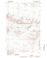
1985 · Bering Glacier B-2
USGS Topo · 1:63,360
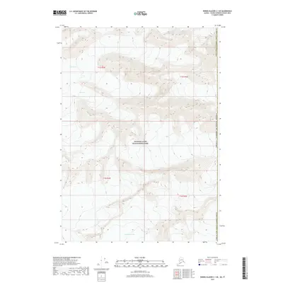
2017 · Bering Glacier C-1 NE
USGS Topo · 1:25,000
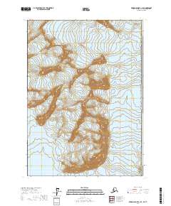
2017 · Bering Glacier C-1 SE
USGS Topo · 1:25,000
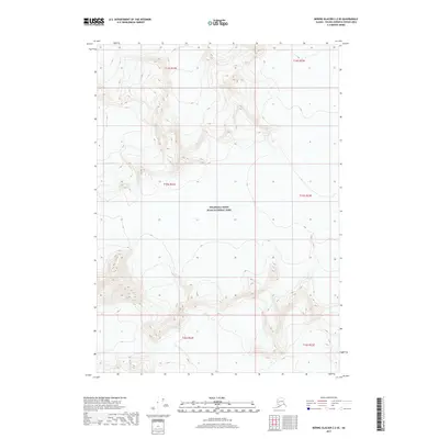
2017 · Bering Glacier C-2 SE
USGS Topo · 1:25,000