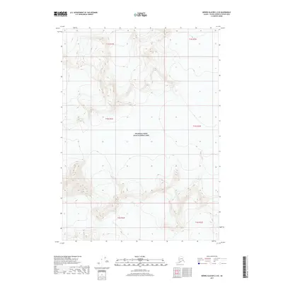
2017 Map of Bering Glacier C-2 SE
USGS Topo · Published 2017About this map
Wrangell-Saint Elias National Park dominates this 2017 survey, representing one of the most significant glacial landscapes in the American North. The map focuses on the immense Bering Glacier and its surrounding ice-carved topography, where extreme elevations and complex contouring illustrate the scale of the ice field. This specific quadrangle provides a detailed look at the flow of the glacier as it moves through the Saint Elias Mountains. Because the area is entirely contained within the national park boundary and includes portions of several townships including t15s r22e and t16s r23e, it serves as a critical document for understanding the modern geography of the largest glacier in North America before further environmental shifts alter its footprint.
Find a feature on this map
8 named features on this map. Tap any name to fly to it.
Don’t see what you’re looking for? This feature index may not catch every label — zoom into the map to look around manually.
Map Details
Editions of this 2017 Bering Glacier C-2 SE Map
This is the sole edition of this map. No revisions or reprints were ever made.
Other maps of this area

1950 · Bering Glacier
USGS Topo · 1:250,000

1951 · Bering Glacier
USGS Topo · 1:250,000

1959 · Bering Glacier
USGS Topo · 1:250,000
1985 · Bering Glacier B-1
USGS Topo · 1:63,360
1985 · Bering Glacier C-2
USGS Topo · 1:63,360
1985 · Bering Glacier C-1
USGS Topo · 1:63,360
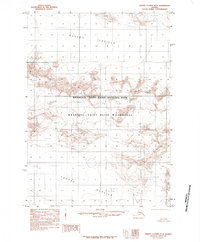
1985 · Bering Glacier B-2
USGS Topo · 1:63,360
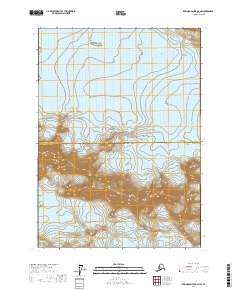
2017 · Bering Glacier B-2 NW
USGS Topo · 1:25,000
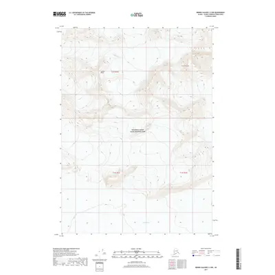
2017 · Bering Glacier C-2 NW
USGS Topo · 1:25,000
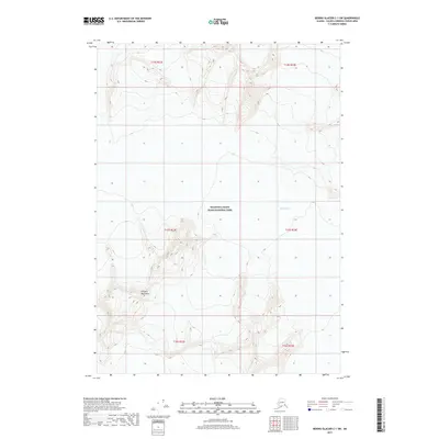
2017 · Bering Glacier C-1 SW
USGS Topo · 1:25,000