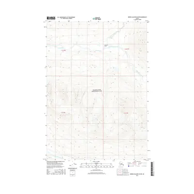
2016 Map of Bering Glacier D-8 NW
USGS Topo · Published 2016About this map
Wrangell-Saint Elias National Park encompasses this expansive wilderness, where the complex drainage network of the Bremner River system converges. The map detail highlights the convergence of several major tributaries, including the North Fork Bremner River, Middle Fork Bremner River, and South Fork Bremner River. These waterways carve through the steep topography of the Chugach Mountains, most notably at the dramatic Twelvemile Canyon. In the southern portion of the sheet, the icy expanse of Fan Glacier marks the high-elevation landscape, illustrating the glacial processes that continue to shape this corner of the Alaska coast. The absence of roads or permanent settlements underscores the preserved state of this national parkland, offering researchers a clear view of the natural hydrology and terrain as documented in the early twenty-first century.
Find a feature on this map
11 named features on this map. Tap any name to fly to it.
Don’t see what you’re looking for? This feature index may not catch every label — zoom into the map to look around manually.
Map Details
Editions of this 2016 Bering Glacier D-8 NW Map
This is the sole edition of this map. No revisions or reprints were ever made.
Other maps of this area
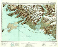
1948 · Cordova
USGS Topo · 1:250,000
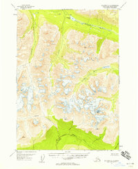
1950 · McCarthy A-8
USGS Topo · 1:63,360
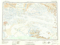
1950 · Bering Glacier
USGS Topo · 1:250,000
1951 · McCarthy
USGS Topo · 1:250,000
1951 · Bering Glacier
USGS Topo · 1:250,000
1951 · Cordova
USGS Topo · 1:250,000
1951 · Valdez A-1
USGS Topo · 1:63,360
1952 · Valdez
USGS Topo · 1:250,000
1959 · Cordova D-1
USGS Topo · 1:63,360
1959 · Bering Glacier
USGS Topo · 1:250,000