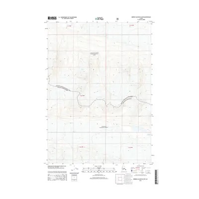
2014 Map of Bering Glacier D-8 SW
USGS Topo · Published 2014About this map
Bremner Glacier and Wernicke Glacier dominate this high-altitude Alaskan landscape, where the jagged boundary between two major federal reserves is meticulously charted. The transition from Wrangell-Saint Elias National Park to the Chugach National Forest cuts across steep elevation contours, illustrating the complex land management of the Unorganized Borough. This 2014 survey documents the glacial extent and topographic relief of a region defined entirely by ice and stone, offering a precise record of these shifting ice fields within some of the largest protected wilderness areas in the United States. The absence of roads or human settlements emphasizes the primary role of this map as a technical study of glacial geography and alpine terrain.
Find a feature on this map
10 named features on this map. Tap any name to fly to it.
Don’t see what you’re looking for? This feature index may not catch every label — zoom into the map to look around manually.
Map Details
Editions of this 2014 Bering Glacier D-8 SW Map
This is the sole edition of this map. No revisions or reprints were ever made.
Other maps of this area
1948 · Cordova
USGS Topo · 1:250,000
1950 · Bering Glacier
USGS Topo · 1:250,000
1951 · Bering Glacier
USGS Topo · 1:250,000
1951 · Cordova
USGS Topo · 1:250,000
1959 · Cordova D-1
USGS Topo · 1:63,360
1959 · Cordova C-1
USGS Topo · 1:63,360
1959 · Bering Glacier
USGS Topo · 1:250,000
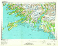
1959 · Cordova
USGS Topo · 1:250,000
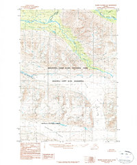
1984 · Bering Glacier D-8
USGS Topo · 1:63,360
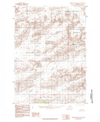
1985 · Bering Glacier C-8
USGS Topo · 1:63,360