
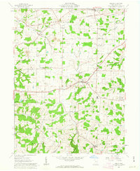
1962 Map of Berlin
USGS Topo · Published 1976About this map
The Greenville Treaty Line cuts across this 1962 landscape, marking a historic boundary between the Congress Lands to the north and the United States Military District to the south. This area of Holmes County is defined by its small, clustered settlements like Berlin and Mt Hope, which serve as hubs for the surrounding agricultural community. The map reveals a dense network of local landmarks, including one-room schoolhouses like North Bunker Hill Sch and Wise Sch, alongside significant local institutions such as Hiland High Sch. Deep hollows like Troyer Hol and waterways such as Doughty Creek and Walnut Creek shape the terrain, while the presence of scattered strip mines and gas wells indicates the extraction industries operating alongside the traditional farmsteads. From the rural crossroads of Millers Corners to the village of Charm, the sheet preserves the mid-century layout of this distinctive cultural landscape.
Find a feature on this map
44 named features on this map. Tap any name to fly to it.
Don’t see what you’re looking for? This feature index may not catch every label — zoom into the map to look around manually.
Map Details
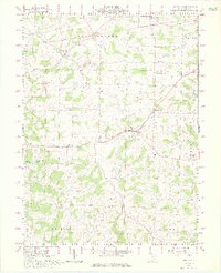
Editions of this 1962 Berlin Map
3 editions found
Other maps of this area

1911 · Newcomerstown
USGS Topo · 1:62,500

1913 · Newcomerstown
USGS Topo · 1:62,500

1913 · Coshocton
USGS Topo · 1:62,500

1914 · Navarre
USGS Topo · 1:62,500

1915 · Millersburg
USGS Topo · 1:62,500

1915 · Coshocton
USGS Topo · 1:62,500

1943 · Millersburg
USGS Topo · 1:62,500

1943 · Coshocton
USGS Topo · 1:62,500

1943 · Newcomerstown
USGS Topo · 1:62,500

1944 · Navarre
USGS Topo · 1:62,500