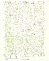
1962 Map of Berlin
USGS Topo · Published 1976About this map
The Greenville Treaty Line bisects this portion of Holmes County, marking a historic boundary between Congress Lands to the north and the United States Military District to the south. This 1960s landscape is defined by the rural settlements of Berlin, Mt Hope, and Charm, which serve as hubs for the surrounding agricultural community. The map captures the area's educational and spiritual centers, including Hiland High Sch and St Johns Ch, alongside several smaller rural schools such as Troyer Sch and North Bunker Hill Sch. Waterways like Doughty Creek and Walnut Creek carve through the terrain, while evidence of local industry appears in the form of scattered gas wells and a strip mine. The presence of numerous unmarked cemeteries and family-named landmarks like Millers Corners provides valuable data for those tracing local lineage in this traditional Ohio heartland.
Find a feature on this map
43 named features on this map. Tap any name to fly to it.
Don’t see what you’re looking for? This feature index may not catch every label — zoom into the map to look around manually.
Map Details
Editions of this 1962 Berlin Map
3 editions found
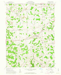

Other maps of this area

1911 · Newcomerstown
USGS Topo · 1:62,500

1913 · Newcomerstown
USGS Topo · 1:62,500

1913 · Coshocton
USGS Topo · 1:62,500

1914 · Navarre
USGS Topo · 1:62,500

1915 · Millersburg
USGS Topo · 1:62,500

1915 · Coshocton
USGS Topo · 1:62,500

1943 · Millersburg
USGS Topo · 1:62,500

1943 · Coshocton
USGS Topo · 1:62,500

1943 · Newcomerstown
USGS Topo · 1:62,500

1944 · Navarre
USGS Topo · 1:62,500