
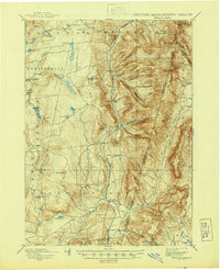
1898 Map of Berlin
USGS Topo · Published 1898About this map
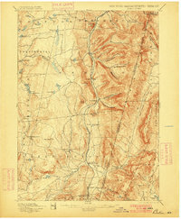
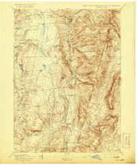
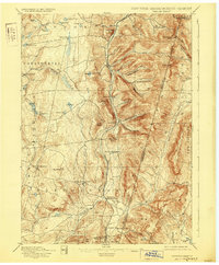
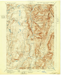
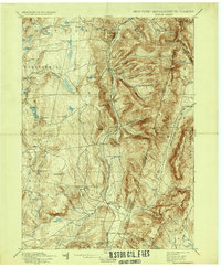
Lebanon Springs Railroad tracks follow the narrow valley floor of the Kinderhook Creek, anchoring a string of rail-stop settlements from Berlin down through Stephentown to Wyomanock. This late-19th-century survey documents the transition from the high, rocky ridges of Berlin Mtn. and Potter Mtn. to the industrial and agricultural corridors of Rensselaer County. The map reveals a landscape defined by sharp elevation changes, where family names are etched into the terrain at Barber Hollow, Mc Master Hollow, and George Allen Hollow. To the west, the upland plateaus are dotted with numerous small water bodies like Big Bowman Pond and Dyking Pond, which fed the streams powering early local mills. The proximity of the Massachusetts and Vermont borders highlights the regional importance of these north-south valley routes for commerce and movement between the Taconic highlands and the surrounding lowlands.
Find a feature on this map
73 named features on this map. Tap any name to fly to it.
Don’t see what you’re looking for? This feature index may not catch every label — zoom into the map to look around manually.
Map Details
Editions of this 1898 Berlin Map
10 editions found
Other maps of this area

1886 · Greylock
USGS Topo · 1:62,500

1886 · Becket
USGS Topo · 1:62,500

1888 · Becket
USGS Topo · 1:62,500

1888 · Berlin
USGS Topo · 1:62,500

1888 · Pittsfield
USGS Topo · 1:62,500

1890 · Pittsfield
USGS Topo · 1:62,500

1890 · Berlin
USGS Topo · 1:62,500

1891 · Greylock
USGS Topo · 1:62,500

1893 · Cohoes
USGS Topo · 1:62,500

1893 · Troy
USGS Topo · 1:62,500