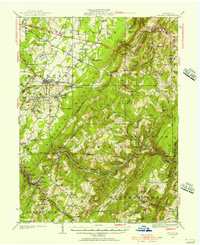
1923 Map of Berlin
USGS Topo · Published 1956About this map
Allegheny Mountain forms the massive diagonal spine of this Somerset County landscape, dictating the difficult passage of early infrastructure. The B and O railroad follows the winding descent of Wills Creek through the gap at Sand Patch, while the early alignment of the Pennsylvania Turnpike cuts across the northern reaches near New Baltimore. This 1923 survey captures a rural industrial economy defined by extraction and small-scale milling, evidenced by the Salco Mines and Shipley Bros Mine located near Macdonaldton.
Find a feature on this map
99 named features on this map. Tap any name to fly to it.
Don’t see what you’re looking for? This feature index may not catch every label — zoom into the map to look around manually.
Map Details
Editions of this 1923 Berlin Map
3 editions found

Other maps of this area

1898 · Frostburg
USGS Topo · 1:62,500

1899 · Flintstone
USGS Topo · 1:62,500

1899 · Grantsville
USGS Topo · 1:62,500

1900 · Flintstone
USGS Topo · 1:62,500

1901 · Frostburg
USGS Topo · 1:62,500

1904 · Grantsville
USGS Topo · 1:62,500

1908 · Frostburg
USGS Topo · 1:62,500

1908 · Bedford
USGS Topo · 1:62,500

1910 · Bedford
USGS Topo · 1:62,500

1913 · Somerset
USGS Topo · 1:62,500