
1929 Map of Berlin
USGS Topo · Published 1929About this map
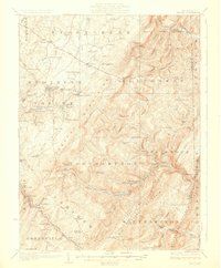
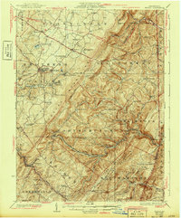
Berlin serves as a primary hub of activity in this 1920s survey of Somerset County, where the industrial footprint of coal and rail intersects with an older agrarian landscape. The eastern slope of Savage Mtn is dominated by the complex engineering of the Baltimore and Ohio RR, featuring the critical Falls Cut Tunnel and a series of high-altitude stations like Sand Patch and Glencoe. This rail-and-river economy is further evidenced by the Shipley Bros Mine and Salco Mines, while the presence of the Western Maryland RR at the southern edge suggests the intense regional competition for coal transport routes.
Find a feature on this map
104 named features on this map. Tap any name to fly to it.
Don’t see what you’re looking for? This feature index may not catch every label — zoom into the map to look around manually.
Map Details
Editions of this 1929 Berlin Map
3 editions found
Other maps of this area

1898 · Frostburg
USGS Topo · 1:62,500

1899 · Flintstone
USGS Topo · 1:62,500

1899 · Grantsville
USGS Topo · 1:62,500

1900 · Flintstone
USGS Topo · 1:62,500

1901 · Frostburg
USGS Topo · 1:62,500

1904 · Grantsville
USGS Topo · 1:62,500

1908 · Frostburg
USGS Topo · 1:62,500

1908 · Bedford
USGS Topo · 1:62,500

1910 · Bedford
USGS Topo · 1:62,500

1913 · Somerset
USGS Topo · 1:62,500