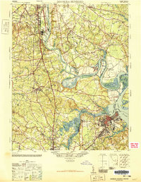
1946 Map of Bermuda Hundred
USGS Topo · Published 1946About this map
James River and Appomattox River confluence zones dominate this mid-century survey, revealing a landscape defined by industrial growth and centuries-old plantation history. The city of Hopewell and the established town of Chester contrast with the historic Bermuda Hundred settlement and Curles Neck Plantation. The complex hydrology of the river is evident at Dutch Gap Channel and the Old Channel surrounding Farrar Island, reflecting the engineering efforts to navigate these tidal waters.
Find a feature on this map
117 named features on this map. Tap any name to fly to it.
Don’t see what you’re looking for? This feature index may not catch every label — zoom into the map to look around manually.
Map Details
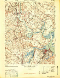
Editions of this 1946 Bermuda Hundred Map
2 editions found
Other maps of this area

1890 · Goochland
USGS Topo · 1:125,000

1892 · Goochland
USGS Topo · 1:125,000

1894 · Bermuda Hundred
USGS Topo · 1:62,500

1894 · Petersburg
USGS Topo · 1:62,500

1894 · Richmond
USGS Topo · 1:62,500

1895 · Richmond
USGS Topo · 1:62,500

1897 · Amelia
USGS Topo · 1:125,000

1918 · Charles City
USGS Topo · 1:62,500

1919 · Disputanta
USGS Topo · 1:62,500

1920 · King William
USGS Topo · 1:62,500