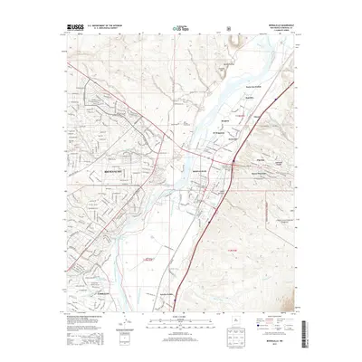
2013 Map of Bernalillo
USGS Topo · Published 2013About this map
The Rio Grande and its intricate network of irrigation ditches define the landscape of this Sandoval County corridor. Bernalillo serves as a central hub, housing the Sandoval County Courthouse and connecting to the smaller settlements of El Chapparal and El Llanito. To the west, the residential expansion of Rio Rancho is visible, while to the south, the village of Corrales borders the river. The map reveals the deep cultural footprint of the region's Indigenous communities, showing the locations of Santa Ana Pueblo, Sandia Pueblo, and Pueblo Santiago.
Find a feature on this map
55 named features on this map. Tap any name to fly to it.
Don’t see what you’re looking for? This feature index may not catch every label — zoom into the map to look around manually.
Map Details
Editions of this 2013 Bernalillo Map
This is the sole edition of this map. No revisions or reprints were ever made.
Other maps of this area

1888 · Bernalillo
USGS Topo · 1:125,000

1889 · Albuquerque
USGS Topo · 1:125,000

1892 · San Pedro
USGS Topo · 1:125,000

1893 · Albuquerque
USGS Topo · 1:125,000

1934 · Alameda
USGS Topo · 1:24,000

1934 · Griegos
USGS Topo · 1:24,000

1938 · Albuquerque
USGS Topo · 1:62,500

1953 · Bernalillo NW
USGS Topo · 1:24,000

1954 · Sandia Crest
USGS Topo · 1:24,000

1954 · Alameda
USGS Topo · 1:24,000