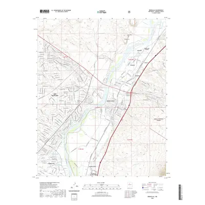
2020 Map of Bernalillo
USGS Topo · Published 2020About this map
The Rio Grande corridor serves as the central artery for this region, where the historical footprint of Sandia Pueblo and Santa Ana Pueblo meets modern development. In the eastern valley, the irrigation network of the Bernalillo Acequia and Sandia Acequia reflects a long-standing agricultural tradition that persists alongside the growing infrastructure of Bernalillo. Prominent geological landmarks like Canjilon Hill and the Bernalillo Plug rise above the river plains, while the western bluffs show the residential expansion of Rio Rancho. Significant cultural sites including the Pueblo of Sandia Village and the Our Lady of Sorrows Cem are clearly marked, providing essential reference points for researchers. The landscape is also defined by seasonal drainage patterns, such as the Arroyo Venada and Sandia Wash, which cut through the terrain toward the river's edge.
Find a feature on this map
220 named features on this map. Tap any name to fly to it.
Don’t see what you’re looking for? This feature index may not catch every label — zoom into the map to look around manually.
Map Details
Editions of this 2020 Bernalillo Map
This is the sole edition of this map. No revisions or reprints were ever made.
Other maps of this area

1888 · Bernalillo
USGS Topo · 1:125,000

1889 · Albuquerque
USGS Topo · 1:125,000

1892 · San Pedro
USGS Topo · 1:125,000

1893 · Albuquerque
USGS Topo · 1:125,000

1934 · Alameda
USGS Topo · 1:24,000

1934 · Griegos
USGS Topo · 1:24,000

1938 · Albuquerque
USGS Topo · 1:62,500

1953 · Bernalillo NW
USGS Topo · 1:24,000

1954 · Sandia Crest
USGS Topo · 1:24,000

1954 · Alameda
USGS Topo · 1:24,000