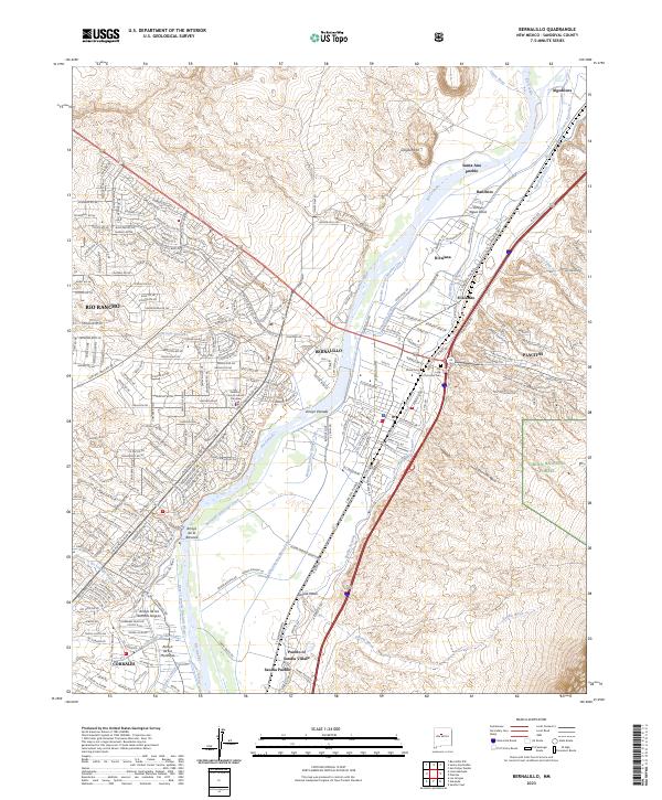
2023 Map of Bernalillo
USGS Topo · Published 2023About this map
Bernalillo and the surrounding Rio Grande valley are depicted in this contemporary record of a landscape defined by centuries of movement. The historic route of El Camino Real remains a prominent corridor, paralleling the Rio Grande as it flows past the ancestral lands of Santa Ana Pueblo and the Pueblo of Sandia Village. This intersection of traditional pueblo sites and modern residential expansion in Rio Rancho and Placitas highlights the unique spatial continuity of the region.
Find a feature on this map
57 named features on this map. Tap any name to fly to it.
Don’t see what you’re looking for? This feature index may not catch every label — zoom into the map to look around manually.
Map Details
Editions of this 2023 Bernalillo Map
This is the sole edition of this map. No revisions or reprints were ever made.
Other maps of this area

1888 · Bernalillo
USGS Topo · 1:125,000

1889 · Albuquerque
USGS Topo · 1:125,000

1892 · San Pedro
USGS Topo · 1:125,000

1893 · Albuquerque
USGS Topo · 1:125,000

1934 · Alameda
USGS Topo · 1:24,000

1934 · Griegos
USGS Topo · 1:24,000

1938 · Albuquerque
USGS Topo · 1:62,500

1953 · Bernalillo NW
USGS Topo · 1:24,000

1954 · Sandia Crest
USGS Topo · 1:24,000

1954 · Alameda
USGS Topo · 1:24,000