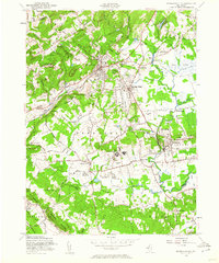
1954 Map of Bernardsville
USGS Topo · Published 1960About this map
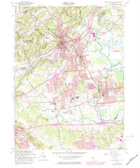
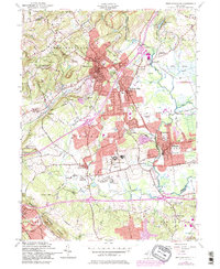
Bernardsville and the surrounding Somerset Hills are defined by a mix of established borough centers and sprawling institutional properties in the mid-1950s. The Delaware Lackawanna and Western Railroad serves as a central corridor, connecting Basking Ridge, Lyons, and Millington while supporting the region's suburban development. The landscape is dotted with significant local landmarks including the large U S Veterans Hospital and the Bonnie Brae Farm For Boys, alongside recreational sites like the Schley Polo Field and Somerset Hills Golf Course.
Find a feature on this map
55 named features on this map. Tap any name to fly to it.
Don’t see what you’re looking for? This feature index may not catch every label — zoom into the map to look around manually.
Map Details
Editions of this 1954 Bernardsville Map
6 editions found
Other maps of this area

1888 · Plainfield
USGS Topo · 1:62,500

1888 · Morristown
USGS Topo · 1:62,500

1888 · Lake Hopatcong
USGS Topo · 1:62,500

1891 · Somerville
USGS Topo · 1:62,500

1893 · Plainfield
USGS Topo · 1:62,500

1893 · Somerville
USGS Topo · 1:62,500

1894 · Morristown
USGS Topo · 1:62,500

1894 · Lake Hopatcong
USGS Topo · 1:62,500

1898 · Lake Hopatcong
USGS Topo · 1:62,500

1898 · Morristown
USGS Topo · 1:62,500
Featured Places
- Bridgewater Township, NJ
- Long Hill Township, NJ
- Bedminster Township, NJ
- Bernardsville, NJ
- Basking Ridge, NJ